Coria night lights from space
Night Light of Coria (Extremadura) from space (Spain) Src. Average luminocity for 10x10km area is 6.1803% and for 50x50km: 1.5044%.
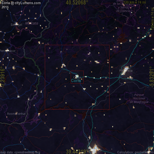
Analysis of Coria night lights 2016
Square area 10x10 km:
 0.51%
0.51%90-99
0.85%80-89
2.04%70-79
1.02%60-69
1.02%50-59
0%40-49
0%30-39
0%20-29
0.68%10-19
1.36%0-9
92.52%Square area 50x50 km:
0.06%90-99
0.19%80-89
0.49%70-79
0.23%60-69
0.18%50-59
0.16%40-49
0.17%30-39
0.06%20-29
0.36%10-19
0.14%0-9
97.95%Clear (daylight) street map image can be seen on geolist.org.
Map coordinates:
40° 31' 14.4" North, 7° 14' 21" West
39° 59' 2.6" North, 6° 32' 9.7" West
39° 26' 35.5" North, 5° 49' 58.5" West
Some cities around Coria sort by population:
• Cáceres
58.1 km =36.1 mi,  166°
166°
• Plasencia
38.5 km =23.9 mi,  82°
82°
• Ciudad Rodrigo
68.5 km =42.6 mi,  0°
0°
• Moraleja
14 km =8.7 mi,  311°
311°
• Jaraíz de la Vera
67.1 km =41.7 mi, 82°
• Arroyo de la Luz
55.6 km =34.5 mi,  184°
184°
• Montehermoso
19.6 km =12.2 mi,  53°
53°
• Alcains, PT
78.8 km =49 mi,  264°
264°
2519234 (p: 12,896)
Sources (retrieved 2019-11-25):
» Earth at Night: Flat Maps 2012, 2016