Plasencia night lights from space
Night Light of Plasencia (Extremadura) from space (Spain) Src. Average luminocity for 10x10km area is 21.9838% and for 50x50km: 2.1429%.
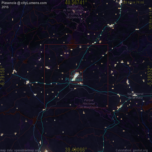
Analysis of Plasencia night lights 2016
Square area 10x10 km:
 3.73%
3.73%90-99
4.55%80-89
3.73%70-79
1.95%60-69
2.27%50-59
0.65%40-49
0%30-39
1.62%20-29
2.92%10-19
24.03%0-9
54.55%Square area 50x50 km:
0.16%90-99
0.33%80-89
0.47%70-79
0.29%60-69
0.27%50-59
0.18%40-49
0.09%30-39
0.33%20-29
0.45%10-19
1.08%0-9
96.35%Clear (daylight) street map image can be seen on geolist.org.
Map coordinates:
40° 34' 2.7" North, 6° 47' 29.7" West
40° 1' 52.2" North, 6° 5' 18.4" West
39° 29' 26.4" North, 5° 23' 7.2" West
Some cities around Plasencia sort by population:
• Navalmoral de la Mata
49.2 km =30.6 mi,  108°
108°
• Béjar
48.2 km =30 mi,  34°
34°
• Coria
38.5 km =23.9 mi,  262°
262°
• Talayuela
41.1 km =25.5 mi,  96°
96°
• Trujillo
66.1 km =41.1 mi,  164°
164°
• Moraleja
48.8 km =30.3 mi,  274°
274°
• Jaraíz de la Vera
28.6 km =17.8 mi,  83°
83°
• Montehermoso
23.1 km =14.4 mi,  285°
285°
3113331 (p: 41,148)
Sources (retrieved 2019-11-25):
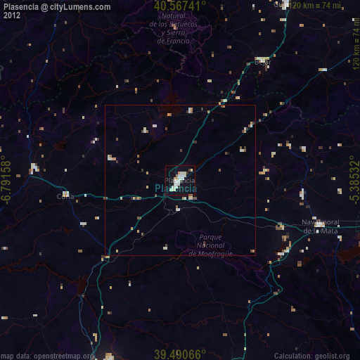
» Earth at Night: Flat Maps 2012, 2016