Ciudad Rodrigo night lights from space
Night Light of Ciudad Rodrigo (Castille and León) from space (Spain) Src. Average luminocity for 10x10km area is 7.9497% and for 50x50km: 0.6927%.
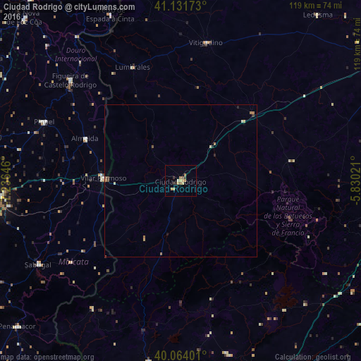
Analysis of Ciudad Rodrigo night lights 2016
Square area 10x10 km:
 0%
0%90-99
0.65%80-89
1.3%70-79
3.25%60-69
1.3%50-59
1.3%40-49
0.32%30-39
0.81%20-29
1.46%10-19
0%0-9
89.61%Square area 50x50 km:
0%90-99
0.05%80-89
0.12%70-79
0.22%60-69
0.16%50-59
0.12%40-49
0.07%30-39
0.06%20-29
0.14%10-19
0.03%0-9
99.04%Clear (daylight) street map image can be seen on geolist.org.
Map coordinates:
41° 7' 54.2" North, 7° 14' 11.3" West
40° 36' 0" North, 6° 31' 60" West
40° 3' 50.4" North, 5° 49' 48.8" West
Some cities around Ciudad Rodrigo sort by population:
• Plasencia
73.6 km =45.7 mi,  149°
149°
• Guarda, PT
62.3 km =38.7 mi,  263°
263°
• Sequeira, PT
58.7 km =36.5 mi, 264°
• Béjar
69.3 km =43.1 mi,  110°
110°
• Coria
68.5 km =42.6 mi,  180°
180°
• Moraleja
60.2 km =37.4 mi,  190°
190°
• Montehermoso
59 km =36.7 mi,  164°
164°
• Guijuelo
73 km =45.4 mi,  93°
93°
3124963 (p: 14,080)
Sources (retrieved 2019-11-25):
» Earth at Night: Flat Maps 2012, 2016