Montehermoso night lights from space
Night Light of Montehermoso (Extremadura) from space (Spain) Src. Average luminocity for 10x10km area is 4.5357% and for 50x50km: 2.4586%.
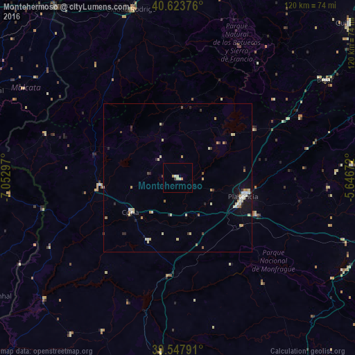
Analysis of Montehermoso night lights 2016
Square area 10x10 km:
 0.32%
0.32%90-99
0.81%80-89
1.46%70-79
1.3%60-69
0%50-59
0%40-49
0.32%30-39
0.65%20-29
0%10-19
0%0-9
95.13%Square area 50x50 km:
0.2%90-99
0.44%80-89
0.61%70-79
0.36%60-69
0.25%50-59
0.1%40-49
0.16%30-39
0.27%20-29
0.48%10-19
1.01%0-9
96.13%Clear (daylight) street map image can be seen on geolist.org.
Map coordinates:
40° 37' 25.5" North, 7° 3' 10.7" West
40° 5' 16.7" North, 6° 20' 59.4" West
39° 32' 52.5" North, 5° 38' 48.2" West
Some cities around Montehermoso sort by population:
• Cáceres
68 km =42.3 mi,  181°
181°
• Plasencia
23.1 km =14.4 mi,  105°
105°
• Béjar
59.8 km =37.2 mi,  56°
56°
• Ciudad Rodrigo
59 km =36.7 mi,  344°
344°
• Coria
19.6 km =12.2 mi,  233°
233°
• Talayuela
64 km =39.8 mi,  100°
100°
• Moraleja
26.5 km =16.5 mi,  264°
264°
• Jaraíz de la Vera
50.8 km =31.6 mi,  93°
93°
3116351 (p: 5,693)
Sources (retrieved 2019-11-25):
» Earth at Night: Flat Maps 2012, 2016