Guarda night lights from space
Night Light of Guarda from space (Portugal) Src. Average luminocity for 10x10km area is 35.6315% and for 50x50km: 6.2403%.
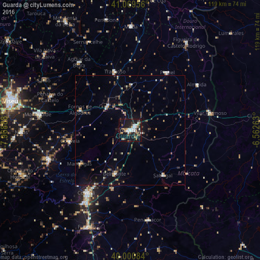
Analysis of Guarda night lights 2016
Square area 10x10 km:
 7.63%
7.63%90-99
6.33%80-89
1.79%70-79
3.57%60-69
5.36%50-59
3.9%40-49
3.08%30-39
5.52%20-29
6.82%10-19
44.64%0-9
11.36%Square area 50x50 km:
0.49%90-99
0.76%80-89
0.48%70-79
0.7%60-69
0.82%50-59
0.81%40-49
0.77%30-39
1.34%20-29
1.89%10-19
3.75%0-9
88.19%Clear (daylight) street map image can be seen on geolist.org.
Map coordinates:
41° 4' 10.4" North, 7° 58' 8" West
40° 32' 14.4" North, 7° 15' 56.7" West
40° 0' 3" North, 6° 33' 45.5" West
Some cities around Guarda sort by population:
• Sequeira
3.8 km =2.4 mi,  61°
61°
• Covilhã
35 km =21.7 mi,  215°
215°
• Fundão
48.5 km =30.1 mi,  204°
204°
• Mangualde
42.5 km =26.4 mi,  280°
280°
• Seia
39.8 km =24.7 mi,  250°
250°
• São Romão
40.9 km =25.4 mi, 248°
• Sernancelhe
44.5 km =27.7 mi,  334°
334°
• Aguiar da Beira
39 km =24.2 mi,  322°
322°
2738785 (p: 32,111)
Sources (retrieved 2019-11-25):
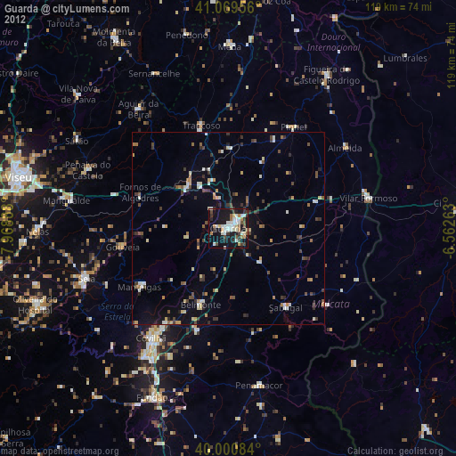
» Earth at Night: Flat Maps 2012, 2016