la Nucia night lights from space
Night Light of la Nucia (Valencia) from space (Spain) Src. Average luminocity for 10x10km area is 42.9448% and for 50x50km: 11.4028%.
Analysis of la Nucia night lights 2016
Square area 10x10 km:
 7.47%
7.47%90-99
7.95%80-89
4.55%70-79
6.33%60-69
5.03%50-59
7.31%40-49
5.52%30-39
5.03%20-29
16.4%10-19
21.92%0-9
12.5%Square area 50x50 km:
1.34%90-99
1.52%80-89
1.33%70-79
1.28%60-69
1.39%50-59
1.81%40-49
1.15%30-39
1.74%20-29
3.77%10-19
12.11%0-9
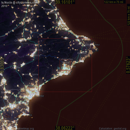
72.57%Clear (daylight) street map image can be seen on geolist.org.
Map coordinates:
39° 9' 39.6" North, 0° 49' 48.1" West
38° 36' 49.4" North, 0° 7' 36.8" West
38° 3' 44" North, 0° 34' 34.4" East
Some cities around la Nucia sort by population:
• Benidorm
8.4 km =5.2 mi,  182°
182°
• Villajoyosa
15 km =9.3 mi,  218°
218°
• Calp
15.3 km =9.5 mi,  76°
76°
• Altea
6.8 km =4.2 mi,  104°
104°
• l'Alfàs del Pi
4.2 km =2.6 mi,  150°
150°
• Teulada
23.8 km =14.8 mi,  57°
57°
• Benissa
18.9 km =11.7 mi,  53°
53°
• Pedreguer
24.4 km =15.2 mi,  35°
35°
2515701 (p: 17,874)
Sources (retrieved 2019-11-25):
» Earth at Night: Flat Maps 2012, 2016