l'Alfàs del Pi night lights from space
Night Light of l'Alfàs del Pi (Valencia) from space (Spain) Src. Average luminocity for 10x10km area is 64.7386% and for 50x50km: 10.1642%.
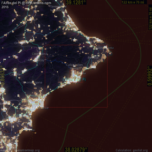
Analysis of l'Alfàs del Pi night lights 2016
Square area 10x10 km:
 14.12%
90-99
14.29%80-89
11.69%70-79
10.39%60-69
8.93%50-59
9.25%40-49
3.25%30-39
7.31%20-29
14.12%10-19
6.49%0-9
0.16%Square area 50x50 km:
1.16%90-99
1.36%80-89
1.13%70-79
1.16%60-69
1.25%50-59
1.61%40-49
0.97%30-39
1.56%20-29
3.19%10-19
11.59%0-9
75.01%Clear (daylight) street map image can be seen on geolist.org.
Map coordinates:
39° 7' 41.2" North, 0° 48' 22.8" West
38° 34' 50" North, 0° 6' 11.6" West
38° 1' 43.6" North, 0° 35' 59.7" East
Some cities around l'Alfàs del Pi sort by population:
• Benidorm
5.3 km =3.3 mi,  207°
207°
• Villajoyosa
13.9 km =8.6 mi,  234°
234°
• Calp
14.7 km =9.1 mi,  60°
60°
• Altea
4.9 km =3 mi,  65°
65°
• la Nucia
4.2 km =2.6 mi,  330°
330°
• Teulada
24.4 km =15.2 mi,  47°
47°
• Benissa
19.9 km =12.4 mi,  41°
41°
• Pedreguer
26.5 km =16.5 mi,  26°
26°
6559503 (p: 21,011)
Sources (retrieved 2019-11-25):
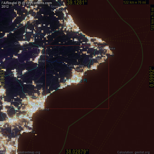
» Earth at Night: Flat Maps 2012, 2016