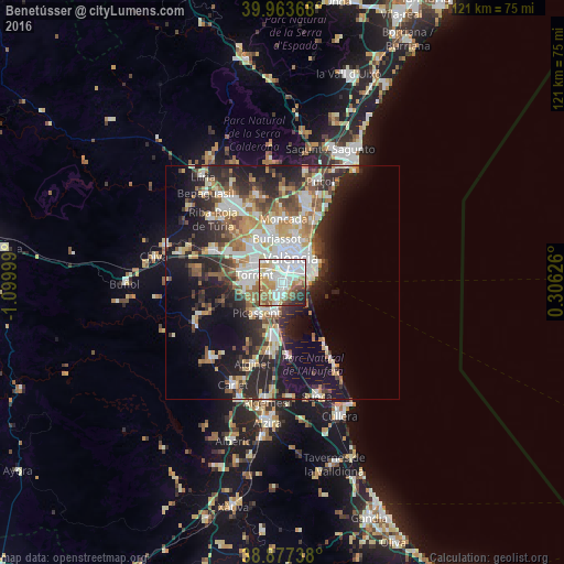
Benetússer night lights from space
Night Light of Benetússer (Valencia) from space (Spain) Src. Average luminocity for 10x10km area is 80.1003% and for 50x50km: 29.8031%.
Analysis of Benetússer night lights 2016
Square area 10x10 km:
 26.7%
26.7%90-99
24.66%80-89
9.69%70-79
9.18%60-69
11.05%50-59
5.1%40-49
5.78%30-39
2.89%20-29
4.25%10-19
0.68%0-9
0%Square area 50x50 km:
5.96%90-99
6.04%80-89
3.31%70-79
3.64%60-69
4.02%50-59
3.41%40-49
3.43%30-39
4.25%20-29
9.2%10-19
14.02%0-9
42.73%Clear (daylight) street map image can be seen on geolist.org.
Map coordinates:
39° 57' 49.2" North, 1° 5' 60" West
39° 25' 21.5" North, 0° 23' 48.7" West
38° 52' 38.6" North, 0° 18' 22.5" East
Some cities around Benetússer sort by population:
• Valencia
5.5 km =3.4 mi,  17°
17°
• Xirivella
5.4 km =3.4 mi,  332°
332°
• Catarroja
2.5 km =1.6 mi,  186°
186°
• Paiporta
1.9 km =1.2 mi,  288°
288°
• Alfafar
1.3 km =0.8 mi,  119°
119°
• Albal
3 km =1.9 mi,  214°
214°
• Picanya
3.3 km =2.1 mi, 290°
• Sedaví
1.7 km =1.1 mi,  44°
44°
2521105 (p: 15,313)
Sources (retrieved 2019-11-25):
» Earth at Night: Flat Maps 2012, 2016