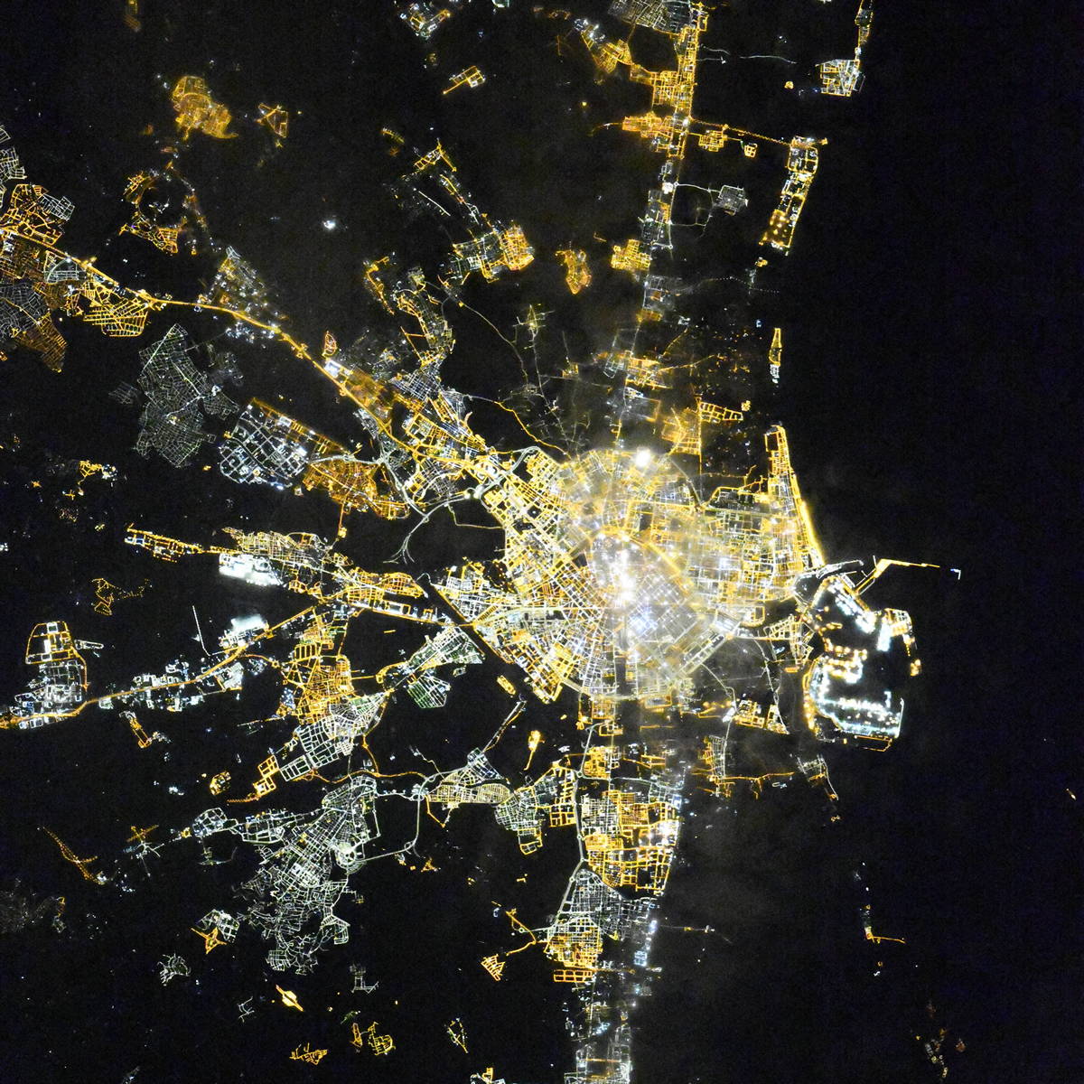
Valencia night lights from space
Night Light of Valencia from space (Spain) Src. Average luminocity for 10x10km area is 95.9439% and for 50x50km: 30.1878%.
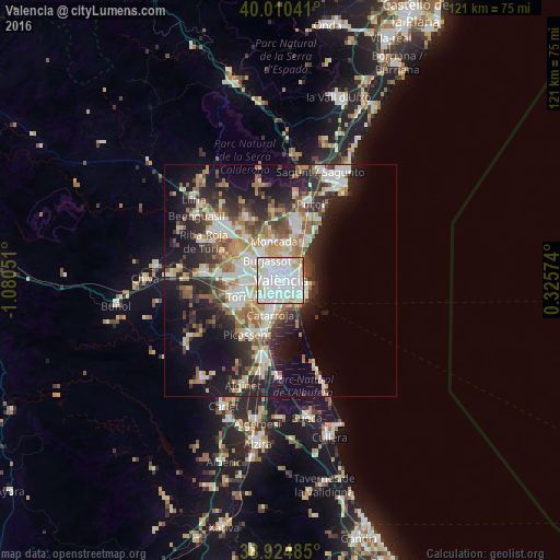

Analysis of Valencia night lights 2016
Square area 10x10 km:
 51.7%
51.7%90-99
34.69%80-89
6.29%70-79
3.74%60-69
2.89%50-59
0.34%40-49
0.34%30-39
0%20-29
0%10-19
0%0-9
0%Square area 50x50 km:
6.28%90-99
6.17%80-89
3.11%70-79
3.65%60-69
4.21%50-59
3.58%40-49
3.45%30-39
4.26%20-29
8.79%10-19
13.2%0-9
43.3%Clear (daylight) street map image can be seen on geolist.org.
Map coordinates:
40° 0' 37.5" North, 1° 4' 49.8" West
39° 28' 11.1" North, 0° 22' 38.6" West
38° 55' 29.5" North, 0° 19' 32.7" East
Fantastic image of Valencia from space taken by astronauts [src2], but I don't have information about it's orientation, scale or angle. If necessary, it was rotated manually, so North points approximately to upper direction. Click to zoom in:
Some cities around Valencia sort by population:
• Mislata
3.6 km =2.2 mi,  279°
279°
• Burjassot
5.4 km =3.4 mi,  325°
325°
• Xirivella
4.2 km =2.6 mi,  264°
264°
• Quart de Poblet
5.5 km =3.4 mi, 283°
• Alboraya
4.1 km =2.5 mi,  34°
34°
• BenetĂşsser
5.5 km =3.4 mi,  197°
197°
• Tavernes Blanques
3.5 km =2.2 mi,  15°
15°
• SedavĂ
4.1 km =2.5 mi,  187°
187°
2509954 (p: 814,208)
Sources (retrieved 2019-11-25):
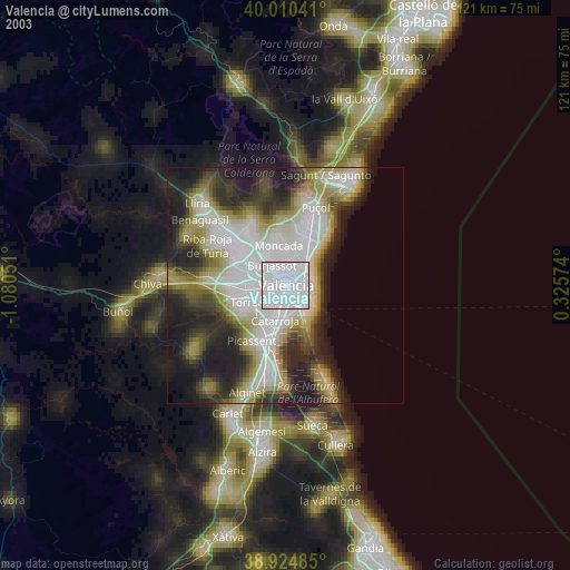
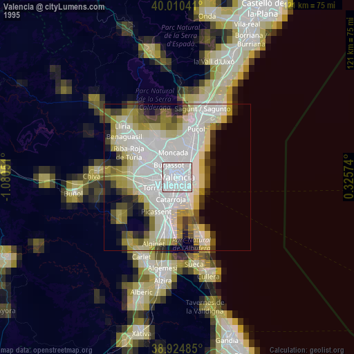
» NASA, Earths city lights 1995
» NASA city lights 2003
» Earth at Night: Flat Maps 2012, 2016
Src.2: picture by Oleg Kononenko, Roscosmos, retrieved 2019-11-29