Arenys de Munt night lights from space
Night Light of Arenys de Munt (Catalonia) from space (Spain) Src. Average luminocity for 10x10km area is 33.0049% and for 50x50km: 21.2534%.
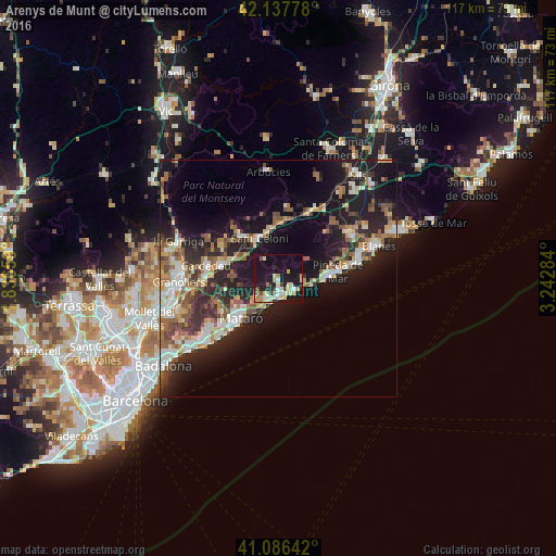
Analysis of Arenys de Munt night lights 2016
Square area 10x10 km:
 3.25%
3.25%90-99
8.28%80-89
6.33%70-79
3.73%60-69
2.92%50-59
1.62%40-49
2.6%30-39
1.62%20-29
7.47%10-19
46.59%0-9
15.58%Square area 50x50 km:
2.67%90-99
3.58%80-89
2.64%70-79
2.24%60-69
2.88%50-59
3.5%40-49
2.89%30-39
3.11%20-29
7.29%10-19
17.1%0-9
52.11%Clear (daylight) street map image can be seen on geolist.org.
Map coordinates:
42° 8' 16" North, 1° 50' 11.7" East
41° 36' 51.3" North, 2° 32' 23" East
41° 5' 11.1" North, 3° 14' 34.2" East
Some cities around Arenys de Munt sort by population:
• Mataró
11.3 km =7 mi,  224°
224°
• Calella
9.5 km =5.9 mi,  90°
90°
• Sant Celoni
9.3 km =5.8 mi,  333°
333°
• Canet de Mar
4.3 km =2.7 mi,  127°
127°
• Sant Andreu de Llavaneres
7.1 km =4.4 mi, 221°
• Santa Maria de Palautordera
11.8 km =7.3 mi,  318°
318°
• Sant Vicenç de Montalt
4.7 km =2.9 mi,  212°
212°
• Sant Pol de Mar
6.6 km =4.1 mi,  102°
102°
3129660 (p: 7,394)
Sources (retrieved 2019-11-25):
» Earth at Night: Flat Maps 2012, 2016