Sant Vicenç de Montalt night lights from space
Night Light of Sant Vicenç de Montalt (Catalonia) from space (Spain) Src. Average luminocity for 10x10km area is 38.414% and for 50x50km: 23.0743%.
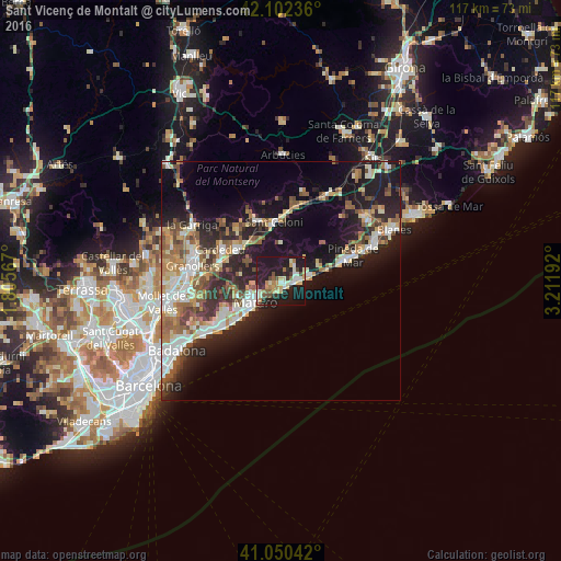
Analysis of Sant Vicenç de Montalt night lights 2016
Square area 10x10 km:
 3.25%
3.25%90-99
8.12%80-89
6.17%70-79
4.38%60-69
5.36%50-59
3.57%40-49
3.9%30-39
4.87%20-29
14.94%10-19
43.02%0-9
2.44%Square area 50x50 km:
3.39%90-99
4.17%80-89
2.86%70-79
2.57%60-69
3.29%50-59
3.75%40-49
2.94%30-39
3.12%20-29
7.11%10-19
15.44%0-9
51.36%Clear (daylight) street map image can be seen on geolist.org.
Map coordinates:
42° 6' 8.5" North, 1° 48' 20.4" East
41° 34' 42.7" North, 2° 30' 31.6" East
41° 3' 1.5" North, 3° 12' 42.9" East
Some cities around Sant Vicenç de Montalt sort by population:
• Mataró
6.7 km =4.2 mi,  232°
232°
• Vilassar de Mar
12.7 km =7.9 mi, 229°
• Calella
12.7 km =7.9 mi,  72°
72°
• Arenys de Mar
3.4 km =2.1 mi,  83°
83°
• Canet de Mar
6.2 km =3.9 mi, 77°
• Argentona
9.4 km =5.8 mi,  252°
252°
• Arenys de Munt
4.7 km =2.9 mi,  32°
32°
• Cabrils
12.9 km =8 mi,  243°
243°
3109440 (p: 6,007)
Sources (retrieved 2019-11-25):
» Earth at Night: Flat Maps 2012, 2016