Quwaysinā night lights from space
Night Light of Quwaysinā (Monufia) from space (Egypt) Src. Average luminocity for 10x10km area is 83.9762% and for 50x50km: 84.9097%.
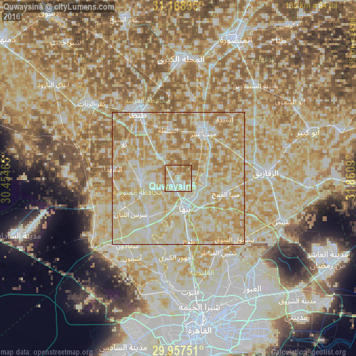
Analysis of Quwaysinā night lights 2016
Square area 10x10 km:
 15.2%
15.2%90-99
23.26%80-89
21.79%70-79
20.88%60-69
18.5%50-59
0.37%40-49
0%30-39
0%20-29
0%10-19
0%0-9
0%Square area 50x50 km:
13.3%90-99
25.53%80-89
29.59%70-79
17.94%60-69
12.01%50-59
1.63%40-49
0%30-39
0%20-29
0%10-19
0%0-9
0%Clear (daylight) street map image can be seen on geolist.org.
Map coordinates:
31° 10' 6.1" North, 30° 27' 16.7" East
30° 33' 53.4" North, 31° 9' 28" East
29° 57' 27" North, 31° 51' 39.2" East
Some cities around Quwaysinā sort by population:
• Shibīn al Kawm
14.3 km =8.9 mi,  264°
264°
• Banhā
12 km =7.5 mi,  167°
167°
• Zefta
18.6 km =11.6 mi,  26°
26°
• Munūf
24.3 km =15.1 mi,  243°
243°
• Toukh
23.7 km =14.7 mi, 169°
• Talā
24.2 km =15 mi,  301°
301°
• Ash Shuhadā’
25 km =15.5 mi,  278°
278°
• Al Bājūr
18.9 km =11.7 mi,  217°
217°
350370 (p: 42,708)
Sources (retrieved 2019-11-25):
» Earth at Night: Flat Maps 2012, 2016