Zamora night lights from space
Night Light of Zamora (Zamora-Chinchipe) from space (Ecuador) Src. Average luminocity for 10x10km area is 7.0736% and for 50x50km: 0.7406%.
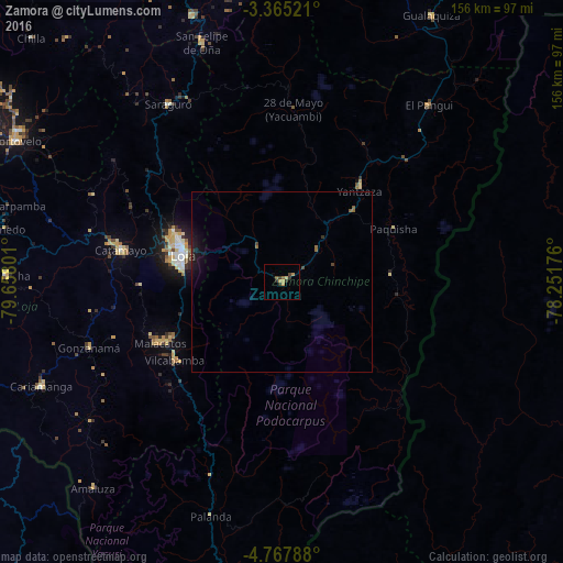
Analysis of Zamora night lights 2016
Square area 10x10 km:
 0%
0%90-99
0%80-89
0.87%70-79
3.03%60-69
0.87%50-59
1.3%40-49
1.08%30-39
2.6%20-29
1.52%10-19
0.43%0-9
88.31%Square area 50x50 km:
0%90-99
0%80-89
0.03%70-79
0.12%60-69
0.1%50-59
0.19%40-49
0.14%30-39
0.18%20-29
0.18%10-19
0.93%0-9
98.14%Clear (daylight) street map image can be seen on geolist.org.
Map coordinates:
3° 21' 54.8" South, 79° 39' 28.8" West
4° 4' 0.7" South, 78° 57' 17.6" West
4° 46' 4.4" South, 78° 15' 6.3" West
Some cities around Zamora sort by population:
• Loja
28.8 km =17.9 mi,  286°
286°
• Catamayo
45.7 km =28.4 mi,  281°
281°
• Piñas
91.2 km =56.7 mi,  298°
298°
• Cariamanga
72.7 km =45.2 mi,  246°
246°
• Zaruma
84 km =52.2 mi, 299°
• Catacocha
77.1 km =47.9 mi,  271°
271°
• Yantzaza
33.8 km =21 mi,  39°
39°
• Portovelo
83.4 km =51.8 mi, 297°
3649959 (p: 15,276)
Sources (retrieved 2019-11-25):
» Earth at Night: Flat Maps 2012, 2016