Yantzaza night lights from space
Night Light of Yantzaza (Zamora-Chinchipe) from space (Ecuador) Src. Average luminocity for 10x10km area is 3.8983% and for 50x50km: 0.6726%.
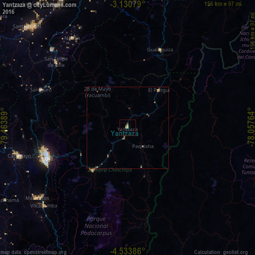
Analysis of Yantzaza night lights 2016
Square area 10x10 km:
 0%
0%90-99
0%80-89
1.73%70-79
0%60-69
1.73%50-59
0.22%40-49
0.65%30-39
0%20-29
0.87%10-19
0.87%0-9
93.94%Square area 50x50 km:
0%90-99
0%80-89
0.15%70-79
0.08%60-69
0.2%50-59
0.2%40-49
0.21%30-39
0.15%20-29
0.07%10-19
0.05%0-9
98.88%Clear (daylight) street map image can be seen on geolist.org.
Map coordinates:
3° 7' 50.8" South, 79° 27' 50" West
3° 49' 57.4" South, 78° 45' 38.7" West
4° 32' 1.9" South, 78° 3' 27.5" West
Some cities around Yantzaza sort by population:
• Loja
52.3 km =32.5 mi,  250°
250°
• Catamayo
68.5 km =42.6 mi,  255°
255°
• Piñas
103.5 km =64.3 mi,  279°
279°
• Cariamanga
103.9 km =64.6 mi,  238°
238°
• Zamora
33.8 km =21 mi,  219°
219°
• Zaruma
95.7 km =59.5 mi, 279°
• Catacocha
101.5 km =63.1 mi, 256°
• Portovelo
96.3 km =59.8 mi, 277°
3650053 (p: 9,970)
Sources (retrieved 2019-11-25):
» Earth at Night: Flat Maps 2012, 2016