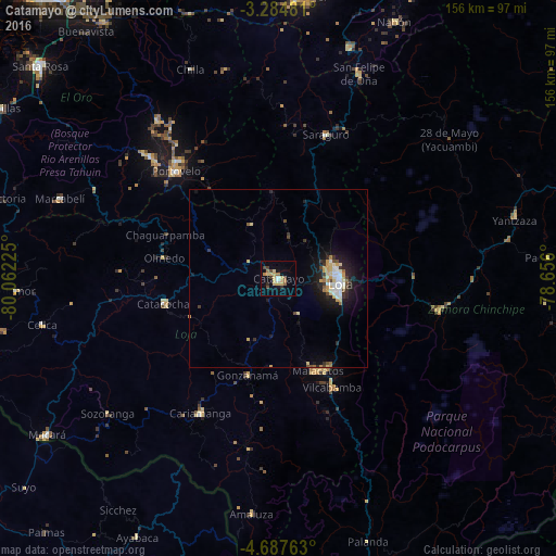
Catamayo night lights from space
Night Light of Catamayo (Loja) from space (Ecuador) Src. Average luminocity for 10x10km area is 19.1797% and for 50x50km: 4.6856%.
Analysis of Catamayo night lights 2016
Square area 10x10 km:
 1.08%
1.08%90-99
0.65%80-89
6.93%70-79
2.81%60-69
3.03%50-59
1.95%40-49
2.81%30-39
1.95%20-29
1.3%10-19
4.55%0-9
72.94%Square area 50x50 km:
0.53%90-99
0.63%80-89
0.89%70-79
0.77%60-69
0.37%50-59
0.37%40-49
0.48%30-39
0.66%20-29
0.96%10-19
3.52%0-9
90.83%Clear (daylight) street map image can be seen on geolist.org.
Map coordinates:
3° 17' 5.3" South, 80° 3' 44.1" West
3° 59' 11.5" South, 79° 21' 32.8" West
4° 41' 15.5" South, 78° 39' 21.6" West
Some cities around Catamayo sort by population:
• Loja
17.2 km =10.7 mi,  92°
92°
• Piñas
49.3 km =30.6 mi,  313°
313°
• Cariamanga
43.8 km =27.2 mi,  209°
209°
• Zamora
45.7 km =28.4 mi,  101°
101°
• Zaruma
43.2 km =26.8 mi,  319°
319°
• Catacocha
33 km =20.5 mi,  257°
257°
• Portovelo
41.5 km =25.8 mi, 315°
• Celica
67.5 km =41.9 mi, 258°
3659599 (p: 18,565)
Sources (retrieved 2019-11-25):
» Earth at Night: Flat Maps 2012, 2016