Puerto Baquerizo Moreno night lights from space
Night Light of Puerto Baquerizo Moreno (Galápagos) from space (Ecuador) Src. Average luminocity for 10x10km area is 6.4762% and for 50x50km: 0.2866%.
Analysis of Puerto Baquerizo Moreno night lights 2016
Square area 10x10 km:
 1.52%
1.52%90-99
1.08%80-89
1.73%70-79
0%60-69
0.87%50-59
0%40-49
0.43%30-39
1.3%20-29
0%10-19
0%0-9
93.07%Square area 50x50 km:
0.06%90-99
0.04%80-89
0.07%70-79
0%60-69
0.07%50-59
0%40-49
0.02%30-39
0.05%20-29
0%10-19
0%0-9
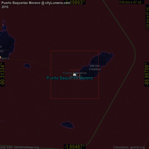
99.69%Clear (daylight) street map image can be seen on geolist.org.
Map coordinates:
0° 11' 55.1" South, 90° 18' 48" West
0° 54' 6.2" South, 89° 36' 36.8" West
1° 36' 16.8" South, 88° 54' 25.5" West
Some cities around Puerto Baquerizo Moreno sort by population:
• Manta
989.2 km =614.7 mi,  90°
90°
• Talara, PE
1012.1 km =628.9 mi,  113°
113°
• La Libertad
978.2 km =607.8 mi,  98°
98°
• Salinas
973.4 km =604.8 mi, 98°
• Santa Elena
983.8 km =611.3 mi, 98°
• Jipijapa
1005.2 km =624.6 mi, 92°
• Montecristi
995.3 km =618.5 mi, 90°
• El Alto, PE
1004.5 km =624.2 mi, 111°
3652758 (p: 4,214)
Sources (retrieved 2019-11-25):
» Earth at Night: Flat Maps 2012, 2016