Naranjal night lights from space
Night Light of Naranjal (Guayas) from space (Ecuador) Src. Average luminocity for 10x10km area is 6.5693% and for 50x50km: 1.1524%.
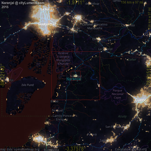
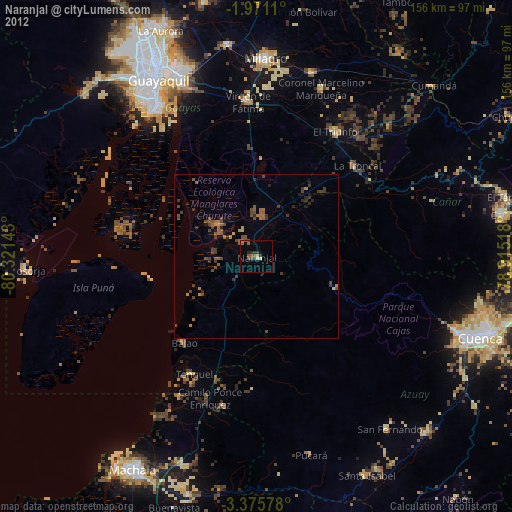
Analysis of Naranjal night lights 2016
Square area 10x10 km:
 0%
0%90-99
0.22%80-89
0.65%70-79
1.73%60-69
0.87%50-59
2.6%40-49
0%30-39
1.73%20-29
1.52%10-19
3.03%0-9
87.66%Square area 50x50 km:
0%90-99
0.01%80-89
0.13%70-79
0.55%60-69
0.25%50-59
0.16%40-49
0.09%30-39
0.18%20-29
0.28%10-19
0.22%0-9
98.14%Clear (daylight) street map image can be seen on geolist.org.
Map coordinates:
1° 58' 16" South, 80° 19' 17.1" West
2° 40' 25.1" South, 79° 37' 5.9" West
3° 22' 32.8" South, 78° 54' 54.6" West
Some cities around Naranjal sort by population:
• Guayaquil
60.9 km =37.8 mi,  330°
330°
• Eloy Alfaro
61.3 km =38.1 mi, 334°
• Milagro
60.1 km =37.3 mi,  2°
2°
• La Troncal
41.6 km =25.8 mi,  48°
48°
• Yaguachi Nuevo
64.7 km =40.2 mi,  352°
352°
• Santa Lucía
69.1 km =42.9 mi,  322°
322°
• Baláo
34.2 km =21.3 mi,  219°
219°
• Coronel Marcelino Maridueña
55.6 km =34.5 mi,  21°
21°
3653882 (p: 32,045)
Sources (retrieved 2019-11-25):
» Earth at Night: Flat Maps 2012, 2016