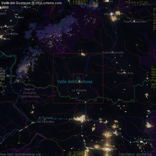
Valle del Guamuez night lights from space
Night Light of Valle del Guamuez (Putumayo) from space (Colombia) Src. Average luminocity for 10x10km area is 2.2965% and for 50x50km: 0.4431%.
Analysis of Valle del Guamuez night lights 2016
Square area 10x10 km:
 0%
0%90-99
0.22%80-89
0.65%70-79
0%60-69
0%50-59
0.22%40-49
1.52%30-39
0.87%20-29
0%10-19
0.87%0-9
95.67%Square area 50x50 km:
0%90-99
0.02%80-89
0.1%70-79
0.03%60-69
0.14%50-59
0.03%40-49
0.16%30-39
0.17%20-29
0.05%10-19
0.06%0-9
99.23%Clear (daylight) street map image can be seen on geolist.org.
Map coordinates:
1° 9' 20" North, 77° 37' 20.3" West
0° 27' 9" North, 76° 55' 9" West
0° 15' 2.2" South, 76° 12' 57.8" West
Some cities around Valle del Guamuez sort by population:
• Ipiales
90.2 km =56 mi,  297°
297°
• Puerto Asís
47.4 km =29.5 mi,  82°
82°
• Nueva Loja, EC
40.8 km =25.4 mi,  176°
176°
• Mocoa
83.3 km =51.8 mi,  20°
20°
• Orito
24.5 km =15.2 mi,  12°
12°
• Sibundoy
83.4 km =51.8 mi,  359°
359°
• La Dorada
12.2 km =7.6 mi, 175°
• Villagarzón
72.7 km =45.2 mi,  26°
26°
3827723 (p: 9,969)
Sources (retrieved 2019-11-25):
» Earth at Night: Flat Maps 2012, 2016