Lardjem night lights from space
Night Light of Lardjem (Tissemsilt) from space (Algeria) Src. Average luminocity for 10x10km area is 2.3916% and for 50x50km: 1.7185%.
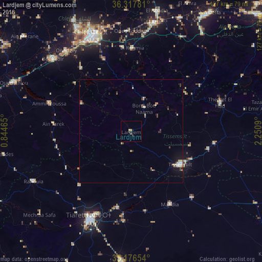
Analysis of Lardjem night lights 2016
Square area 10x10 km:
 0%
0%90-99
0%80-89
0.7%70-79
0.7%60-69
0%50-59
0.7%40-49
0%30-39
1.22%20-29
0.52%10-19
0.7%0-9
95.45%Square area 50x50 km:
0.15%90-99
0.35%80-89
0.32%70-79
0.18%60-69
0.05%50-59
0.2%40-49
0.31%30-39
0.34%20-29
0.35%10-19
0.73%0-9
97.02%Clear (daylight) street map image can be seen on geolist.org.
Map coordinates:
36° 19' 4.1" North, 0° 50' 40.7" East
35° 44' 57.2" North, 1° 32' 52" East
35° 10' 35.5" North, 2° 15' 3.2" East
Some cities around Lardjem sort by population:
• Tiaret
46.9 km =29.1 mi,  206°
206°
• Chlef
50.1 km =31.1 mi,  337°
337°
• Tissemsilt
28.5 km =17.7 mi,  123°
123°
• Oued Fodda
48.5 km =30.1 mi,  358°
358°
• Mehdia daira de meghila
40.2 km =25 mi,  151°
151°
• Oued Sly
50.2 km =31.2 mi,  321°
321°
• Theniet el Had
45.4 km =28.2 mi,  72°
72°
• Ammi Moussa
41.5 km =25.8 mi,  288°
288°
2479203 (p: 30,000)
Sources (retrieved 2019-11-25):
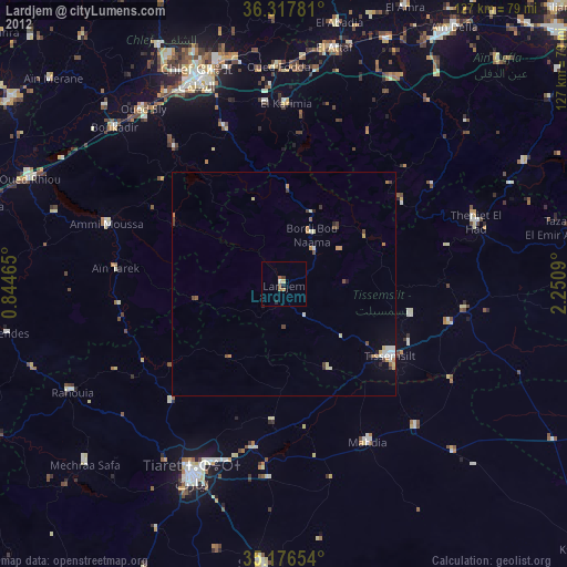
» Earth at Night: Flat Maps 2012, 2016