Frenda night lights from space
Night Light of Frenda (Tiaret) from space (Algeria) Src. Average luminocity for 10x10km area is 8.9213% and for 50x50km: 1.2641%.
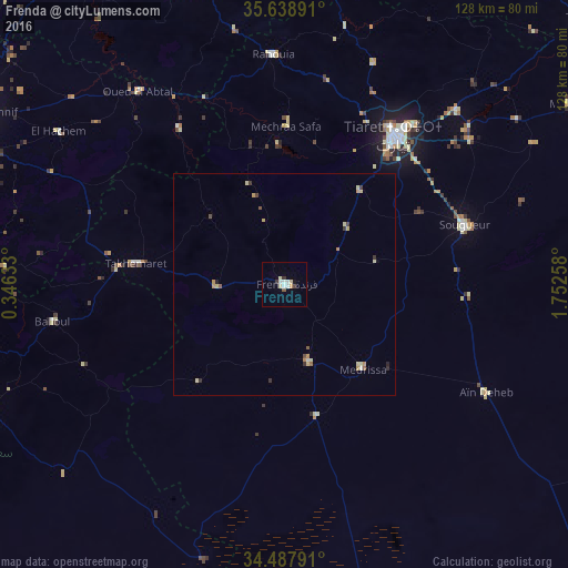
Analysis of Frenda night lights 2016
Square area 10x10 km:
 1.92%
1.92%90-99
1.92%80-89
1.75%70-79
0.52%60-69
0.17%50-59
0.7%40-49
0.7%30-39
1.4%20-29
0%10-19
0.7%0-9
90.21%Square area 50x50 km:
0.11%90-99
0.18%80-89
0.35%70-79
0.22%60-69
0.08%50-59
0.16%40-49
0.12%30-39
0.23%20-29
0.12%10-19
0.04%0-9
98.39%Clear (daylight) street map image can be seen on geolist.org.
Map coordinates:
35° 38' 20.1" North, 0° 20' 46.8" East
35° 3' 55.6" North, 1° 2' 58" East
34° 29' 16.5" North, 1° 45' 9.3" East
Some cities around Frenda sort by population:
• Tiaret
41.8 km =26 mi,  35°
35°
• Relizane
87.1 km =54.1 mi,  329°
329°
• Saïda
85.9 km =53.4 mi,  252°
252°
• Sougueur
42.8 km =26.6 mi,  71°
71°
• Mehdia daira de meghila
76 km =47.2 mi,  57°
57°
• ’Aïn Deheb
51.7 km =32.1 mi,  118°
118°
• Oued el Abtal
54.4 km =33.8 mi,  322°
322°
• Zemoura
77.8 km =48.3 mi,  339°
339°
2496232 (p: 63,319)
Sources (retrieved 2019-11-25):
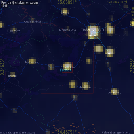
» NASA, Earths city lights 1995
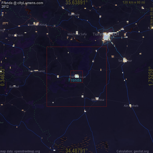
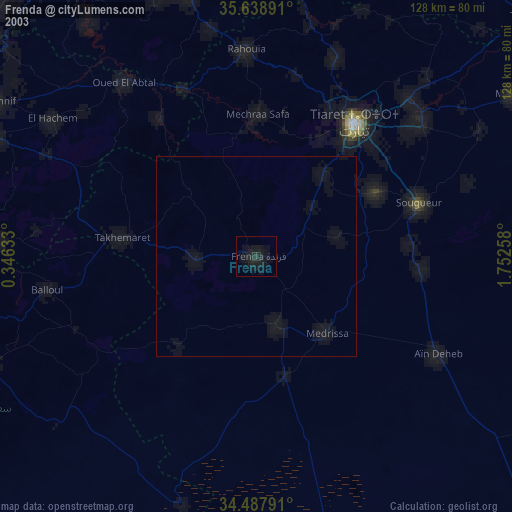
» NASA city lights 2003
» Earth at Night: Flat Maps 2012, 2016