Illizi night lights from space
Night Light of Illizi from space (Algeria) Src. Average luminocity for 10x10km area is 20.5379% and for 50x50km: 1.0304%.
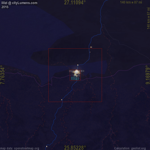
Analysis of Illizi night lights 2016
Square area 10x10 km:
 3.41%
3.41%90-99
3.41%80-89
1.89%70-79
5.49%60-69
1.7%50-59
0.57%40-49
0.95%30-39
5.49%20-29
2.84%10-19
11.36%0-9
62.88%Square area 50x50 km:
0.14%90-99
0.14%80-89
0.08%70-79
0.29%60-69
0.07%50-59
0.02%40-49
0.04%30-39
0.22%20-29
0.16%10-19
0.63%0-9
98.22%Clear (daylight) street map image can be seen on geolist.org.
Map coordinates:
27° 6' 39.4" North, 7° 45' 48.7" East
26° 28' 60" North, 8° 28' 0" East
25° 51' 8.2" North, 9° 10' 11.2" East
Some cities around Illizi sort by population:
• Al Jadīd, LY
592.3 km =368 mi,  83°
83°
• Tamanrasset
507.5 km =315.3 mi,  215°
215°
• Murzuq, LY
547.5 km =340.2 mi,  96°
96°
• Ubari, LY
428.7 km =266.4 mi,  88°
88°
• Brak, LY
587 km =364.7 mi, 78°
• Ghat, LY
240.9 km =149.7 mi,  134°
134°
• Ghadāmis, LY
418.3 km =259.9 mi,  14°
14°
• Idrī, LY
466.8 km =290.1 mi, 76°
2493456 (p: 6,629)
Sources (retrieved 2019-11-25):
» Earth at Night: Flat Maps 2012, 2016