Ghadāmis night lights from space
Night Light of Ghadāmis (Nālūt) from space (Libya) Src. Average luminocity for 10x10km area is 17.4792% and for 50x50km: 1.119%.
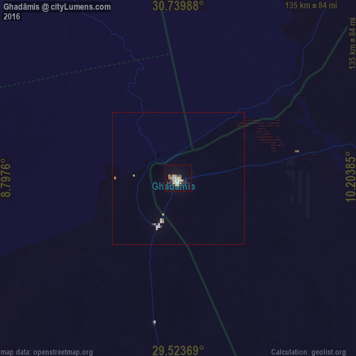
Analysis of Ghadāmis night lights 2016
Square area 10x10 km:
 3.03%
3.03%90-99
3.03%80-89
0.76%70-79
2.46%60-69
5.49%50-59
0.38%40-49
0.76%30-39
1.89%20-29
0.38%10-19
5.3%0-9
76.52%Square area 50x50 km:
0.15%90-99
0.24%80-89
0.03%70-79
0.22%60-69
0.27%50-59
0.01%40-49
0.06%30-39
0.1%20-29
0.07%10-19
0.24%0-9
98.6%Clear (daylight) street map image can be seen on geolist.org.
Map coordinates:
30° 44' 23.6" North, 8° 47' 51.4" East
30° 8' 1.2" North, 9° 30' 2.6" East
29° 31' 25.3" North, 10° 12' 13.9" East
Some cities around Ghadāmis sort by population:
• Yafran
359.3 km =223.3 mi,  53°
53°
• Tataouine, TN
323.7 km =201.1 mi,  16°
16°
• Medenine, TN
370.6 km =230.3 mi,  14°
14°
• Hassi Messaoud, DZ
369.5 km =229.6 mi,  297°
297°
• Zintan
329.7 km =204.9 mi, 52°
• Nālūt
239 km =148.5 mi,  36°
36°
• Mizdah
363.5 km =225.9 mi,  66°
66°
• Giado
314.7 km =195.5 mi, 49°
2217440 (p: 7,000)
Sources (retrieved 2019-11-25):
» Earth at Night: Flat Maps 2012, 2016