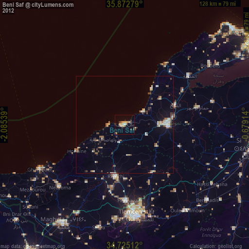
Beni Saf night lights from space
Night Light of Beni Saf (Aïn Témouchent) from space (Algeria) Src. Average luminocity for 10x10km area is 18.3571% and for 50x50km: 5.0605%.
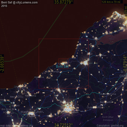
Analysis of Beni Saf night lights 2016
Square area 10x10 km:
 0.73%
0.73%90-99
1.28%80-89
4.4%70-79
4.21%60-69
4.03%50-59
0.73%40-49
1.47%30-39
1.47%20-29
1.28%10-19
8.24%0-9
72.16%Square area 50x50 km:
0.33%90-99
0.45%80-89
1.05%70-79
0.57%60-69
0.88%50-59
0.53%40-49
0.55%30-39
0.9%20-29
0.85%10-19
2.2%0-9
91.7%Clear (daylight) street map image can be seen on geolist.org.
Map coordinates:
35° 52' 22" North, 2° 5' 7.4" West
35° 18' 3.6" North, 1° 22' 56.1" West
34° 43' 30.4" North, 0° 40' 44.9" West
Some cities around Beni Saf sort by population:
• Aïn Temouchent
22 km =13.7 mi,  91°
91°
• Remchi
27 km =16.8 mi,  189°
189°
• Hennaya
38.9 km =24.2 mi,  178°
178°
• Hammam Bou Hadjar
38.6 km =24 mi,  77°
77°
• El Amria
41.5 km =25.8 mi,  53°
53°
• Sidi Abdelli
34.1 km =21.2 mi,  139°
139°
• Bensekrane
29 km =18 mi,  150°
150°
• El Malah
28.1 km =17.5 mi,  69°
69°
2504581 (p: 46,382)
Sources (retrieved 2019-11-25):
» Earth at Night: Flat Maps 2012, 2016