Sidi Abdelli night lights from space
Night Light of Sidi Abdelli (Tlemcen) from space (Algeria) Src. Average luminocity for 10x10km area is 3.5559% and for 50x50km: 8.1108%.
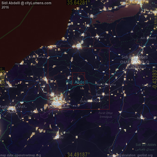
Analysis of Sidi Abdelli night lights 2016
Square area 10x10 km:
 0%
0%90-99
0%80-89
0%70-79
0%60-69
1.22%50-59
0.87%40-49
1.57%30-39
2.1%20-29
0.52%10-19
0%0-9
93.71%Square area 50x50 km:
0.73%90-99
1.21%80-89
1.28%70-79
0.97%60-69
1.4%50-59
0.69%40-49
1.1%30-39
1.56%20-29
2.02%10-19
4.36%0-9
84.69%Clear (daylight) street map image can be seen on geolist.org.
Map coordinates:
35° 38' 34.1" North, 1° 50' 24.6" West
35° 4' 9.7" North, 1° 8' 13.4" West
34° 29' 30.7" North, 0° 26' 2.1" West
Some cities around Sidi Abdelli sort by population:
• Tlemcen
26.7 km =16.6 mi,  217°
217°
• Aïn Temouchent
25.4 km =15.8 mi,  359°
359°
• Mansoûra
29.6 km =18.4 mi, 218°
• Remchi
27 km =16.8 mi,  268°
268°
• Hennaya
24.8 km =15.4 mi,  238°
238°
• Chetouane
21.9 km =13.6 mi, 221°
• Ouled Mimoun
20.6 km =12.8 mi,  152°
152°
• Bensekrane
8 km =5 mi, 274°
2481389 (p: 23,543)
Sources (retrieved 2019-11-25):
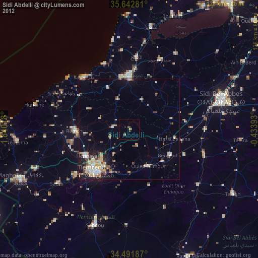
» Earth at Night: Flat Maps 2012, 2016