Hennaya night lights from space
Night Light of Hennaya (Tlemcen) from space (Algeria) Src. Average luminocity for 10x10km area is 35.6355% and for 50x50km: 8.7868%.
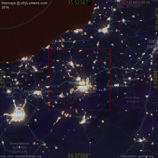
Analysis of Hennaya night lights 2016
Square area 10x10 km:
 3.11%
3.11%90-99
7.14%80-89
4.03%70-79
4.95%60-69
5.31%50-59
2.75%40-49
5.13%30-39
9.52%20-29
11.54%10-19
31.32%0-9
15.2%Square area 50x50 km:
0.77%90-99
1.11%80-89
1.19%70-79
1.17%60-69
1.57%50-59
0.74%40-49
1.16%30-39
2.04%20-29
2.1%10-19
4.99%0-9
83.17%Clear (daylight) street map image can be seen on geolist.org.
Map coordinates:
35° 31' 32.4" North, 2° 4' 16.3" West
34° 57' 5" North, 1° 22' 5" West
34° 22' 23" North, 0° 39' 53.8" West
Some cities around Hennaya sort by population:
• Tlemcen
9.5 km =5.9 mi,  149°
149°
• Mansoûra
10.3 km =6.4 mi,  165°
165°
• Remchi
13.7 km =8.5 mi,  334°
334°
• Chetouane
7.4 km =4.6 mi,  116°
116°
• Sidi Abdelli
24.8 km =15.4 mi,  58°
58°
• Bensekrane
19 km =11.8 mi,  43°
43°
• Beni Mester
10.3 km =6.4 mi,  209°
209°
• Sidi Senoussi سيدي سنوسي
25.4 km =15.8 mi,  78°
78°
2493918 (p: 41,959)
Sources (retrieved 2019-11-25):
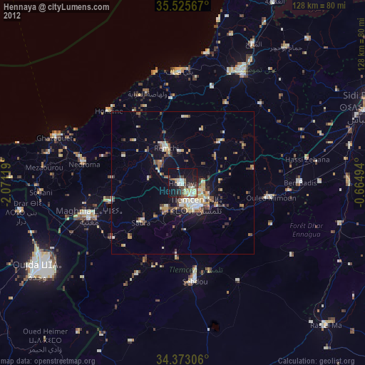
» Earth at Night: Flat Maps 2012, 2016