Vejle night lights from space
Night Light of Vejle (South Denmark) from space (Denmark) Src. Average luminocity for 10x10km area is 23.3086% and for 50x50km: 5.5334%.
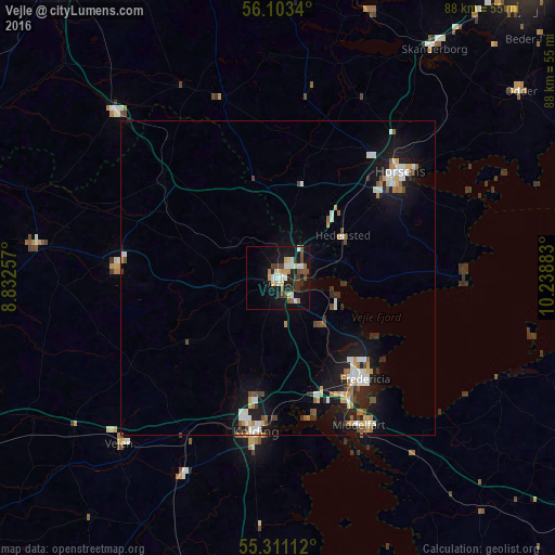
Analysis of Vejle night lights 2016
Square area 10x10 km:
 3.47%
3.47%90-99
3.83%80-89
3.23%70-79
2.63%60-69
2.15%50-59
1.91%40-49
4.78%30-39
3.23%20-29
3.11%10-19
24.64%0-9
47.01%Square area 50x50 km:
0.83%90-99
1.01%80-89
0.49%70-79
0.62%60-69
0.55%50-59
0.57%40-49
0.73%30-39
0.5%20-29
0.97%10-19
5.29%0-9
88.45%Clear (daylight) street map image can be seen on geolist.org.
Map coordinates:
56° 6' 12.2" North, 8° 49' 57.3" East
55° 42' 33.4" North, 9° 32' 8.5" East
55° 18' 40" North, 10° 14' 19.8" East
Some cities around Vejle sort by population:
• Horsens
25.9 km =16.1 mi,  49°
49°
• Kolding
24.7 km =15.3 mi,  189°
189°
• Fredericia
21 km =13 mi,  139°
139°
• Middelfart
25.7 km =16 mi,  151°
151°
• Hedensted
12.4 km =7.7 mi,  56°
56°
• Vejen
35.6 km =22.1 mi,  224°
224°
• Brande
36.4 km =22.6 mi,  315°
315°
• Billund
26.9 km =16.7 mi,  275°
275°
2610613 (p: 51,177)
Sources (retrieved 2019-11-25):
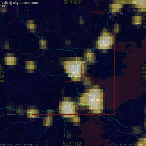
» NASA, Earths city lights 1995
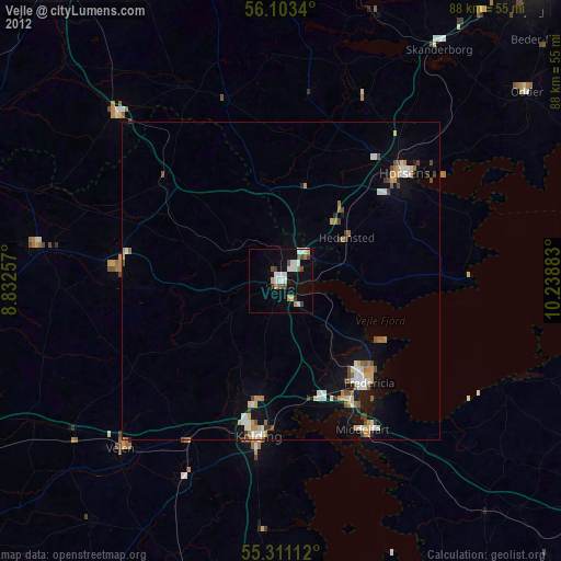
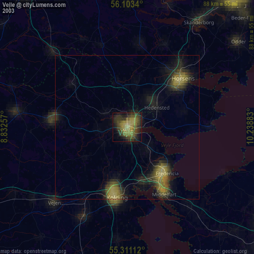
» NASA city lights 2003
» Earth at Night: Flat Maps 2012, 2016