Kolding night lights from space
Night Light of Kolding (South Denmark) from space (Denmark) Src. Average luminocity for 10x10km area is 23.3283% and for 50x50km: 4.3435%.
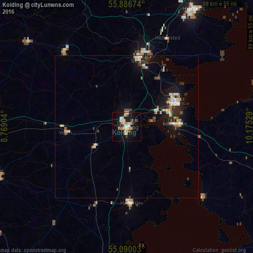
Analysis of Kolding night lights 2016
Square area 10x10 km:
 3.76%
3.76%90-99
4.76%80-89
2.38%70-79
3.38%60-69
2.01%50-59
2.88%40-49
2.01%30-39
2.51%20-29
1.88%10-19
24.94%0-9
49.5%Square area 50x50 km:
0.56%90-99
0.74%80-89
0.37%70-79
0.57%60-69
0.42%50-59
0.48%40-49
0.55%30-39
0.53%20-29
0.9%10-19
3.91%0-9
90.97%Clear (daylight) street map image can be seen on geolist.org.
Map coordinates:
55° 53' 12.3" North, 8° 46' 8.5" East
55° 29' 25.4" North, 9° 28' 19.8" East
55° 5' 24.1" North, 10° 10' 31" East
Some cities around Kolding sort by population:
• Vejle
24.7 km =15.3 mi,  9°
9°
• Fredericia
19.5 km =12.1 mi,  64°
64°
• Haderslev
26.8 km =16.7 mi,  177°
177°
• Middelfart
16.4 km =10.2 mi,  83°
83°
• Hedensted
34.3 km =21.3 mi,  24°
24°
• Vejen
21.1 km =13.1 mi,  267°
267°
• Vojens
29.1 km =18.1 mi,  201°
201°
• Billund
35.4 km =22 mi,  319°
319°
2618528 (p: 55,363)
Sources (retrieved 2019-11-25):
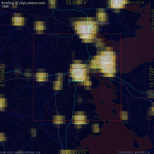
» NASA, Earths city lights 1995
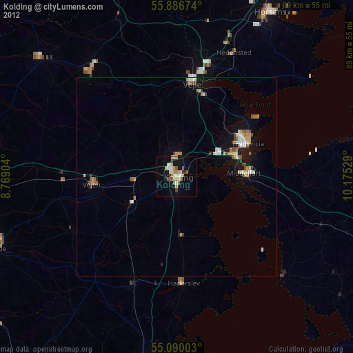
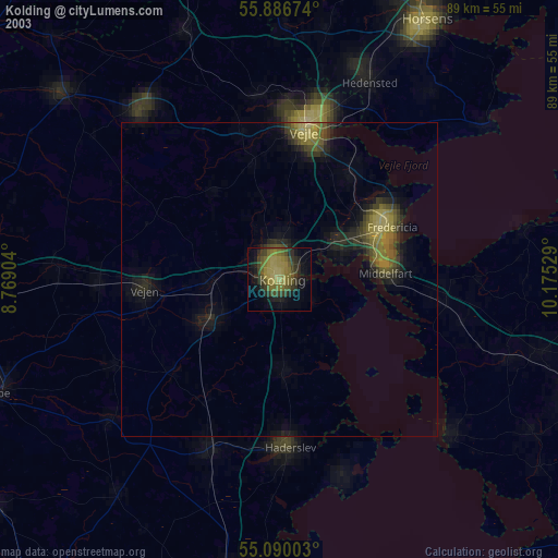
» NASA city lights 2003
» Earth at Night: Flat Maps 2012, 2016