Fredericia night lights from space
Night Light of Fredericia (South Denmark) from space (Denmark) Src. Average luminocity for 10x10km area is 31.0464% and for 50x50km: 4.6493%.
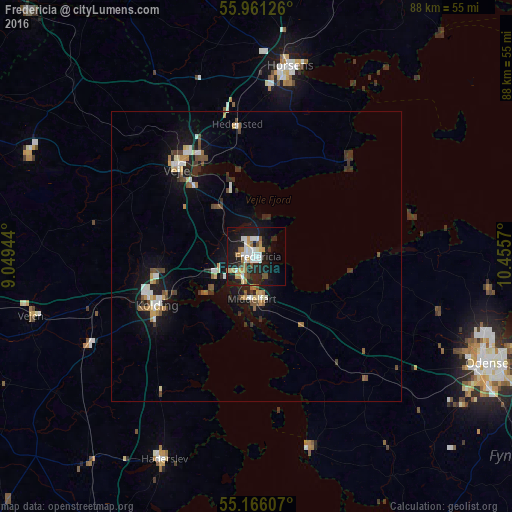
Analysis of Fredericia night lights 2016
Square area 10x10 km:
 5.76%
5.76%90-99
6.39%80-89
2.26%70-79
5.14%60-69
3.38%50-59
2.63%40-49
2.26%30-39
0.5%20-29
12.03%10-19
31.7%0-9
27.94%Square area 50x50 km:
0.59%90-99
0.73%80-89
0.4%70-79
0.59%60-69
0.45%50-59
0.52%40-49
0.7%30-39
0.7%20-29
0.96%10-19
4.28%0-9
90.09%Clear (daylight) street map image can be seen on geolist.org.
Map coordinates:
55° 57' 40.5" North, 9° 2' 58" East
55° 33' 56.4" North, 9° 45' 9.3" East
55° 9' 57.9" North, 10° 27' 20.5" East
Some cities around Fredericia sort by population:
• Horsens
33.4 km =20.8 mi,  10°
10°
• Kolding
19.5 km =12.1 mi,  244°
244°
• Vejle
21 km =13 mi,  319°
319°
• Haderslev
38.9 km =24.2 mi,  205°
205°
• Middelfart
6.8 km =4.2 mi,  191°
191°
• Hedensted
23 km =14.3 mi,  351°
351°
• Vejen
39.8 km =24.7 mi,  256°
256°
• Assens
34.2 km =21.3 mi,  164°
164°
2621951 (p: 36,946)
Sources (retrieved 2019-11-25):
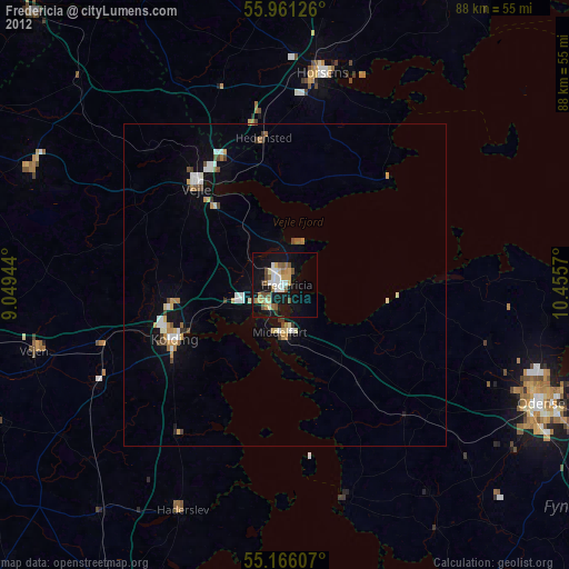
» Earth at Night: Flat Maps 2012, 2016