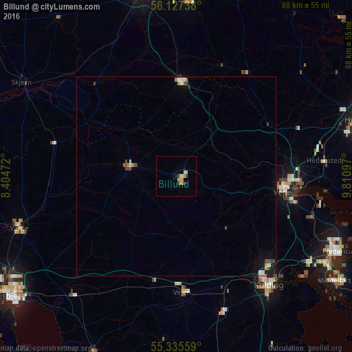
Billund night lights from space
Night Light of Billund (South Denmark) from space (Denmark) Src. Average luminocity for 10x10km area is 5.9043% and for 50x50km: 1.0181%.
Analysis of Billund night lights 2016
Square area 10x10 km:
 0.84%
0.84%90-99
0.6%80-89
0.6%70-79
1.79%60-69
0.96%50-59
0%40-49
0.48%30-39
1.32%20-29
0.12%10-19
0.48%0-9
92.82%Square area 50x50 km:
0.13%90-99
0.2%80-89
0.06%70-79
0.13%60-69
0.12%50-59
0.06%40-49
0.28%30-39
0.1%20-29
0.09%10-19
0.46%0-9
98.37%Clear (daylight) street map image can be seen on geolist.org.
Map coordinates:
56° 7' 38.6" North, 8° 24' 17" East
55° 44' 0.6" North, 9° 6' 28.3" East
55° 20' 8.1" North, 9° 48' 39.5" East
Some cities around Billund sort by population:
• Kolding
35.4 km =22 mi,  139°
139°
• Vejle
26.9 km =16.7 mi,  95°
95°
• Varde
41.3 km =25.7 mi,  252°
252°
• Hedensted
37.3 km =23.2 mi,  83°
83°
• Grindsted
11.6 km =7.2 mi,  283°
283°
• Vejen
28.1 km =17.5 mi,  176°
176°
• Bramming
39 km =24.2 mi,  221°
221°
• Brande
23.3 km =14.5 mi,  3°
3°
2624144 (p: 6,160)
Sources (retrieved 2019-11-25):
» Earth at Night: Flat Maps 2012, 2016