Svendborg night lights from space
Night Light of Svendborg (South Denmark) from space (Denmark) Src. Average luminocity for 10x10km area is 8.396% and for 50x50km: 0.8174%.
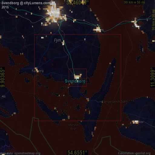
Analysis of Svendborg night lights 2016
Square area 10x10 km:
 1%
1%90-99
0.5%80-89
1%70-79
2.01%60-69
1.63%50-59
1.75%40-49
0.63%30-39
1%20-29
0%10-19
0.13%0-9
90.35%Square area 50x50 km:
0.08%90-99
0.04%80-89
0.06%70-79
0.11%60-69
0.18%50-59
0.13%40-49
0.04%30-39
0.5%20-29
0.09%10-19
0.02%0-9
98.74%Clear (daylight) street map image can be seen on geolist.org.
Map coordinates:
55° 27' 37.8" North, 9° 54' 13.1" East
55° 3' 35.4" North, 10° 36' 24.4" East
54° 39' 18.4" North, 11° 18' 35.6" East
Some cities around Svendborg sort by population:
• Odense
39.9 km =24.8 mi,  339°
339°
• Nyborg
30.4 km =18.9 mi,  22°
22°
• Korsør
45.2 km =28.1 mi,  48°
48°
• Nakskov
42.3 km =26.3 mi,  127°
127°
• Faaborg
23.5 km =14.6 mi,  279°
279°
• Kerteminde
43.4 km =27 mi,  4°
4°
• Neder Holluf
35.3 km =21.9 mi, 343°
• Munkebo
44.1 km =27.4 mi,  355°
355°
2612045 (p: 27,553)
Sources (retrieved 2019-11-25):
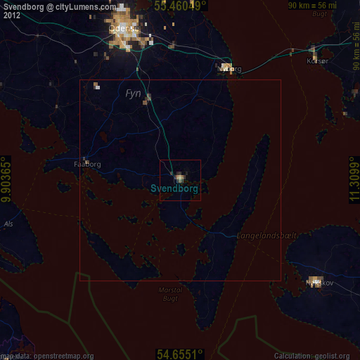
» Earth at Night: Flat Maps 2012, 2016