Skive night lights from space
Night Light of Skive (Central Jutland) from space (Denmark) Src. Average luminocity for 10x10km area is 7.8398% and for 50x50km: 1.4801%.
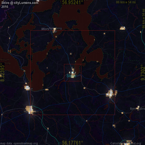
Analysis of Skive night lights 2016
Square area 10x10 km:
 0.34%
0.34%90-99
0.57%80-89
1.59%70-79
0.23%60-69
1.59%50-59
1.59%40-49
3.18%30-39
1.36%20-29
0%10-19
0%0-9
89.55%Square area 50x50 km:
0.14%90-99
0.2%80-89
0.17%70-79
0.09%60-69
0.22%50-59
0.31%40-49
0.35%30-39
0.27%20-29
0.04%10-19
0.83%0-9
97.38%Clear (daylight) street map image can be seen on geolist.org.
Map coordinates:
56° 57' 8.7" North, 8° 19' 26.2" East
56° 34' 1.2" North, 9° 1' 37.5" East
56° 10' 39.4" North, 9° 43' 48.7" East
Some cities around Skive sort by population:
• Viborg
26.3 km =16.3 mi,  118°
118°
• Holstebro
34.2 km =21.3 mi,  227°
227°
• Struer
27.8 km =17.3 mi,  252°
252°
• Hobro
47.5 km =29.5 mi,  79°
79°
• Nykøbing Mors
27.3 km =17 mi,  337°
337°
• Aars
39.8 km =24.7 mi,  48°
48°
• Bjerringbro
44.2 km =27.5 mi, 118°
• Lemvig
44 km =27.3 mi,  267°
267°
2613731 (p: 20,815)
Sources (retrieved 2019-11-25):
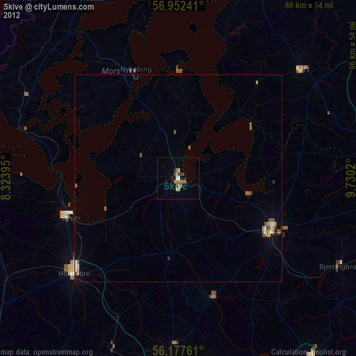
» Earth at Night: Flat Maps 2012, 2016