Nykøbing Mors night lights from space
Night Light of Nykøbing Mors (North Denmark) from space (Denmark) Src. Average luminocity for 10x10km area is 3.2833% and for 50x50km: 0.654%.
Analysis of Nykøbing Mors night lights 2016
Square area 10x10 km:
 0.24%
0.24%90-99
0.24%80-89
0.83%70-79
0.12%60-69
0.12%50-59
0.83%40-49
1.79%30-39
0.48%20-29
0.12%10-19
0%0-9
95.24%Square area 50x50 km:
0.07%90-99
0.09%80-89
0.1%70-79
0.02%60-69
0.09%50-59
0.06%40-49
0.17%30-39
0.28%20-29
0.09%10-19
0%0-9
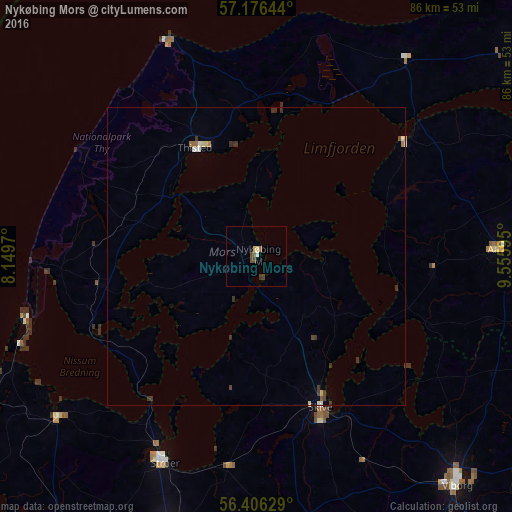
99.04%Clear (daylight) street map image can be seen on geolist.org.
Map coordinates:
57° 10' 35.2" North, 8° 8' 58.9" East
56° 47' 36" North, 8° 51' 10.2" East
56° 24' 22.6" North, 9° 33' 21.4" East
Some cities around Nykøbing Mors sort by population:
• Viborg
50.6 km =31.4 mi,  138°
138°
• Holstebro
50.3 km =31.3 mi,  196°
196°
• Skive
27.3 km =17 mi,  157°
157°
• Thisted
20.4 km =12.7 mi,  331°
331°
• Struer
37.1 km =23.1 mi,  205°
205°
• Hobro
59.6 km =37 mi,  106°
106°
• Aars
40.3 km =25 mi,  88°
88°
• Lemvig
42.9 km =26.7 mi,  230°
230°
2615964 (p: 9,326)
Sources (retrieved 2019-11-25):
» Earth at Night: Flat Maps 2012, 2016