Bjerringbro night lights from space
Night Light of Bjerringbro (Central Jutland) from space (Denmark) Src. Average luminocity for 10x10km area is 2.35% and for 50x50km: 3.0636%.
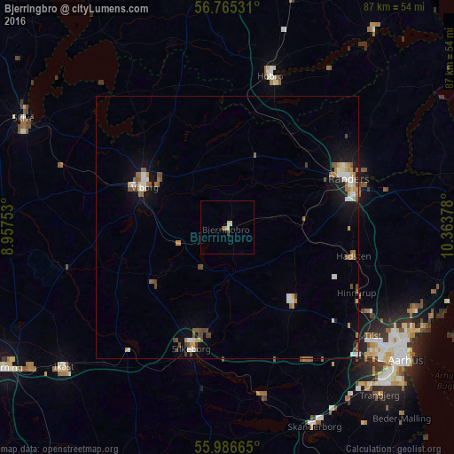
Analysis of Bjerringbro night lights 2016
Square area 10x10 km:
 0%
0%90-99
0.36%80-89
1.07%70-79
0%60-69
0.48%50-59
0.48%40-49
0.48%30-39
0%20-29
0%10-19
0%0-9
97.14%Square area 50x50 km:
0.34%90-99
0.58%80-89
0.27%70-79
0.34%60-69
0.45%50-59
0.59%40-49
0.6%30-39
0.15%20-29
0.13%10-19
1.82%0-9
94.74%Clear (daylight) street map image can be seen on geolist.org.
Map coordinates:
56° 45' 55.1" North, 8° 57' 27.1" East
56° 22' 40.7" North, 9° 39' 38.3" East
55° 59' 11.9" North, 10° 21' 49.6" East
Some cities around Bjerringbro sort by population:
• Randers
24.9 km =15.5 mi,  68°
68°
• Silkeborg
24.2 km =15 mi,  197°
197°
• Viborg
18 km =11.2 mi,  297°
297°
• Hobro
30.5 km =19 mi,  15°
15°
• Lystrup
38.9 km =24.2 mi,  113°
113°
• Hinnerup
27.8 km =17.3 mi,  116°
116°
• Hadsten
24.6 km =15.3 mi,  103°
103°
• Hammel
18.3 km =11.4 mi,  136°
136°
2624019 (p: 7,390)
Sources (retrieved 2019-11-25):
» Earth at Night: Flat Maps 2012, 2016