Hobro night lights from space
Night Light of Hobro (North Denmark) from space (Denmark) Src. Average luminocity for 10x10km area is 7.817% and for 50x50km: 2.5471%.
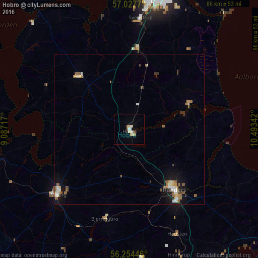
Analysis of Hobro night lights 2016
Square area 10x10 km:
 0.8%
0.8%90-99
2.05%80-89
1.48%70-79
0.45%60-69
0.57%50-59
1.48%40-49
0.23%30-39
0.23%20-29
0.45%10-19
0.11%0-9
92.16%Square area 50x50 km:
0.29%90-99
0.46%80-89
0.29%70-79
0.21%60-69
0.49%50-59
0.56%40-49
0.26%30-39
0.23%20-29
0.17%10-19
1.65%0-9
95.41%Clear (daylight) street map image can be seen on geolist.org.
Map coordinates:
57° 1' 39.7" North, 9° 5' 13.8" East
56° 38' 35" North, 9° 47' 25" East
56° 15' 16.1" North, 10° 29' 36.3" East
Some cities around Hobro sort by population:
• Randers
25.3 km =15.7 mi,  143°
143°
• Viborg
31.8 km =19.8 mi,  228°
228°
• Aars
24.6 km =15.3 mi,  316°
316°
• Bjerringbro
30.5 km =19 mi,  195°
195°
• Hadsten
38.5 km =23.9 mi,  155°
155°
• Støvring
27.1 km =16.8 mi,  6°
6°
• Hammel
43.1 km =26.8 mi,  174°
174°
• Hadsund
21.5 km =13.4 mi,  68°
68°
2620167 (p: 11,064)
Sources (retrieved 2019-11-25):
» Earth at Night: Flat Maps 2012, 2016