Holstebro night lights from space
Night Light of Holstebro (Central Jutland) from space (Denmark) Src. Average luminocity for 10x10km area is 17.6726% and for 50x50km: 1.9271%.
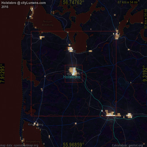
Analysis of Holstebro night lights 2016
Square area 10x10 km:
 2.14%
2.14%90-99
2.14%80-89
3.33%70-79
3.33%60-69
2.62%50-59
2.26%40-49
1.31%30-39
0.95%20-29
0%10-19
17.62%0-9
64.29%Square area 50x50 km:
0.21%90-99
0.24%80-89
0.32%70-79
0.33%60-69
0.26%50-59
0.23%40-49
0.21%30-39
0.22%20-29
0%10-19
1.03%0-9
96.94%Clear (daylight) street map image can be seen on geolist.org.
Map coordinates:
56° 44' 51.4" North, 7° 54' 46.6" East
56° 21' 36.3" North, 8° 36' 57.9" East
55° 58' 6.9" North, 9° 19' 9.1" East
Some cities around Holstebro sort by population:
• Herning
33.4 km =20.8 mi,  138°
138°
• Viborg
49.4 km =30.7 mi,  77°
77°
• Skive
34.2 km =21.3 mi,  47°
47°
• Ikast
41.5 km =25.8 mi,  126°
126°
• Struer
14.7 km =9.1 mi,  354°
354°
• Ringkøbing
37.8 km =23.5 mi,  217°
217°
• Lemvig
28.1 km =17.5 mi,  318°
318°
• Skjern
46.2 km =28.7 mi,  188°
188°
2620046 (p: 32,072)
Sources (retrieved 2019-11-25):
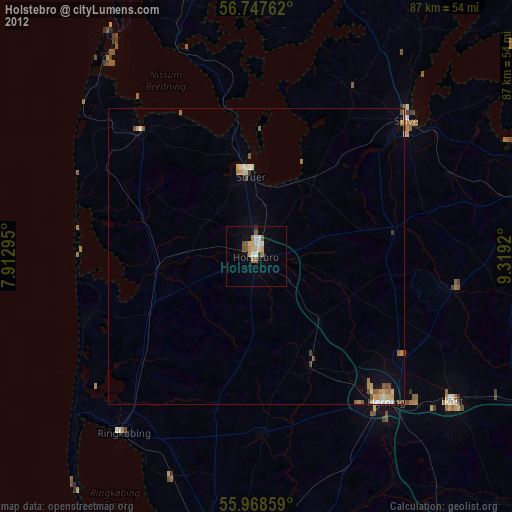
» Earth at Night: Flat Maps 2012, 2016