Rønne night lights from space
Night Light of Rønne (Capital Region) from space (Denmark) Src. Average luminocity for 10x10km area is 5.1529% and for 50x50km: 0.2677%.
Analysis of Rønne night lights 2016
Square area 10x10 km:
 0.25%
0.25%90-99
0.25%80-89
0.5%70-79
0.75%60-69
1.75%50-59
1.63%40-49
0.88%30-39
1%20-29
0%10-19
0%0-9
92.98%Square area 50x50 km:
0.01%90-99
0.01%80-89
0.02%70-79
0.03%60-69
0.07%50-59
0.06%40-49
0.03%30-39
0.2%20-29
0%10-19
0%0-9
99.56%Clear (daylight) street map image can be seen on geolist.org.
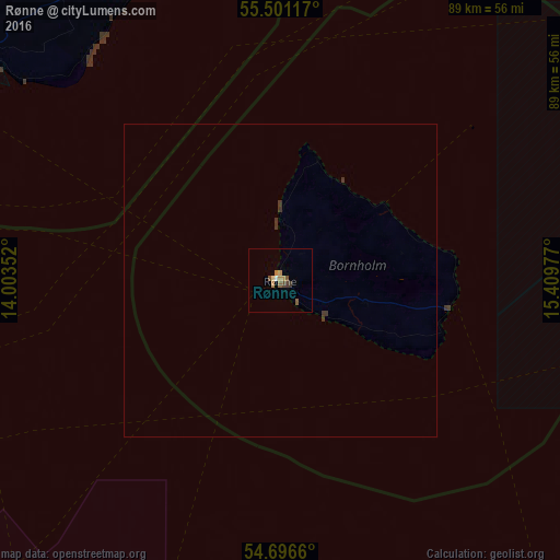
Map coordinates:
55° 30' 4.2" North, 14° 0' 12.7" East
55° 6' 3.3" North, 14° 42' 23.9" East
54° 41' 47.8" North, 15° 24' 35.2" East
Some cities around Rønne sort by population:
• Trelleborg, SE
102.9 km =63.9 mi,  287°
287°
• Ystad, SE
67 km =41.6 mi,  303°
303°
• Saßnitz, DE
94.2 km =58.5 mi,  226°
226°
• Åhus, SE
94.5 km =58.7 mi,  343°
343°
• Skurup, SE
87.1 km =54.1 mi, 298°
• Sjöbo, SE
86.5 km =53.7 mi,  313°
313°
• Tomelilla, SE
68.4 km =42.5 mi,  315°
315°
• Simrishamn, SE
55.4 km =34.4 mi, 336°
2614553 (p: 13,890)
Sources (retrieved 2019-11-25):
» Earth at Night: Flat Maps 2012, 2016