Ystad night lights from space
Night Light of Ystad (Skåne) from space (Sweden) Src. Average luminocity for 10x10km area is 19.6256% and for 50x50km: 2.3597%.
Analysis of Ystad night lights 2016
Square area 10x10 km:
 5.26%
5.26%90-99
4.78%80-89
0.48%70-79
1.08%60-69
1.79%50-59
0%40-49
1.67%30-39
2.03%20-29
1.32%10-19
23.21%0-9
58.37%Square area 50x50 km:
0.46%90-99
0.44%80-89
0.19%70-79
0.22%60-69
0.2%50-59
0.17%40-49
0.31%30-39
0.47%20-29
0.16%10-19
1%0-9
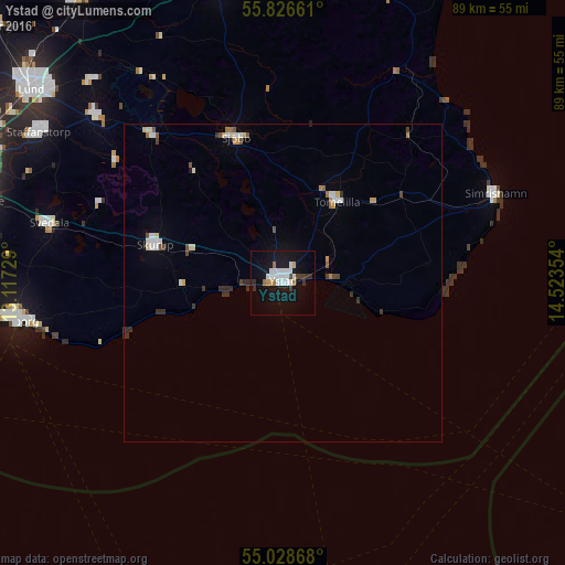
96.39%Clear (daylight) street map image can be seen on geolist.org.
Map coordinates:
55° 49' 35.8" North, 13° 7' 2.2" East
55° 25' 46.8" North, 13° 49' 13.5" East
55° 1' 43.2" North, 14° 31' 24.7" East
Some cities around Ystad sort by population:
• Trelleborg
42.3 km =26.3 mi,  261°
261°
• Svedala
37.9 km =23.5 mi,  283°
283°
• Skurup
20.8 km =12.9 mi,  285°
285°
• Sjöbo
23.5 km =14.6 mi,  342°
342°
• Tomelilla
15.2 km =9.4 mi,  33°
33°
• Simrishamn
36.2 km =22.5 mi,  67°
67°
• Södra Sandby
43.7 km =27.2 mi,  316°
316°
• Dalby
39.6 km =24.6 mi,  311°
311°
2662149 (p: 18,806)
Sources (retrieved 2019-11-25):
» Earth at Night: Flat Maps 2012, 2016