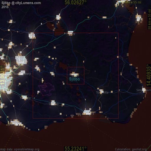
Sjöbo night lights from space
Night Light of Sjöbo (Skåne) from space (Sweden) Src. Average luminocity for 10x10km area is 7.6266% and for 50x50km: 3.4423%.
Analysis of Sjöbo night lights 2016
Square area 10x10 km:
 1.38%
1.38%90-99
0.88%80-89
1.25%70-79
1%60-69
1%50-59
1.63%40-49
0.38%30-39
0.5%20-29
0%10-19
0.13%0-9
91.85%Square area 50x50 km:
0.7%90-99
0.66%80-89
0.29%70-79
0.38%60-69
0.35%50-59
0.24%40-49
0.39%30-39
0.37%20-29
0.15%10-19
1.26%0-9
95.21%Clear (daylight) street map image can be seen on geolist.org.
Map coordinates:
56° 1' 34.6" North, 13° 0' 11.2" East
55° 37' 52.9" North, 13° 42' 22.4" East
55° 13' 56.7" North, 14° 24' 33.7" East
Some cities around Sjöbo sort by population:
• Ystad
23.5 km =14.6 mi,  162°
162°
• Staffanstorp
31.4 km =19.5 mi,  272°
272°
• Svedala
32.6 km =20.3 mi,  245°
245°
• Skurup
21.3 km =13.2 mi,  217°
217°
• Hörby
24.7 km =15.3 mi,  353°
353°
• Tomelilla
18.4 km =11.4 mi,  122°
122°
• Södra Sandby
24.5 km =15.2 mi,  292°
292°
• Dalby
22.7 km =14.1 mi,  279°
279°
2678913 (p: 7,910)
Sources (retrieved 2019-11-25):
» Earth at Night: Flat Maps 2012, 2016