Tomelilla night lights from space
Night Light of Tomelilla (Skåne) from space (Sweden) Src. Average luminocity for 10x10km area is 6.5965% and for 50x50km: 2.3211%.
Analysis of Tomelilla night lights 2016
Square area 10x10 km:
 1%
1%90-99
1.5%80-89
0.5%70-79
1%60-69
1.63%50-59
0.38%40-49
0%30-39
0.5%20-29
0%10-19
0%0-9
93.48%Square area 50x50 km:
0.39%90-99
0.38%80-89
0.14%70-79
0.21%60-69
0.25%50-59
0.18%40-49
0.24%30-39
0.97%20-29
0.18%10-19
1%0-9
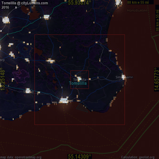
96.06%Clear (daylight) street map image can be seen on geolist.org.
Map coordinates:
55° 56' 19.5" North, 13° 15' 5.3" East
55° 32' 34.5" North, 13° 57' 16.6" East
55° 8' 35.1" North, 14° 39' 27.8" East
Some cities around Tomelilla sort by population:
• Ystad
15.2 km =9.4 mi,  213°
213°
• Svedala
45.4 km =28.2 mi,  265°
265°
• Skurup
29.4 km =18.3 mi,  255°
255°
• Sjöbo
18.4 km =11.4 mi,  302°
302°
• Hörby
39 km =24.2 mi,  331°
331°
• Simrishamn
24.9 km =15.5 mi,  86°
86°
• Södra Sandby
42.8 km =26.6 mi, 296°
• Dalby
40.4 km =25.1 mi,  289°
289°
2668365 (p: 6,826)
Sources (retrieved 2019-11-25):
» Earth at Night: Flat Maps 2012, 2016