Saßnitz night lights from space
Night Light of Saßnitz (Mecklenburg-Vorpommern) from space (Germany) Src. Average luminocity for 10x10km area is 5.9151% and for 50x50km: 0.5731%.
Analysis of Saßnitz night lights 2016
Square area 10x10 km:
 0.48%
0.48%90-99
0.48%80-89
0%70-79
0.96%60-69
2.03%50-59
1.67%40-49
1.32%30-39
0.48%20-29
1.44%10-19
0%0-9
91.15%Square area 50x50 km:
0.07%90-99
0.07%80-89
0.02%70-79
0.06%60-69
0.13%50-59
0.14%40-49
0.11%30-39
0.1%20-29
0.1%10-19
0.03%0-9
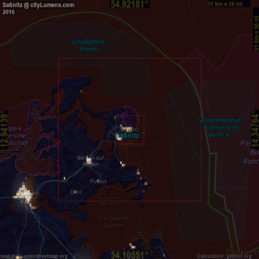
99.15%Clear (daylight) street map image can be seen on geolist.org.
Map coordinates:
54° 55' 18.5" North, 12° 56' 29" East
54° 30' 56.5" North, 13° 38' 40.2" East
54° 6' 19.8" North, 14° 20' 51.5" East
Some cities around Saßnitz sort by population:
• Stralsund
43.1 km =26.8 mi,  237°
237°
• Greifswald
49.9 km =31 mi,  199°
199°
• Bergen auf Rügen
17.4 km =10.8 mi,  231°
231°
• Anklam
73.4 km =45.6 mi,  177°
177°
• Wolgast
52.1 km =32.4 mi,  170°
170°
• Grimmen
59.6 km =37 mi,  221°
221°
• Barth
61.8 km =38.4 mi,  254°
254°
• Ostseebad Binz
13.1 km =8.1 mi,  189°
189°
2841333 (p: 10,779)
Sources (retrieved 2019-11-25):
» Earth at Night: Flat Maps 2012, 2016