Trelleborg night lights from space
Night Light of Trelleborg (Skåne) from space (Sweden) Src. Average luminocity for 10x10km area is 24.6232% and for 50x50km: 7.3379%.
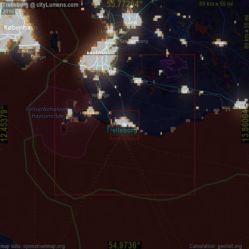
Analysis of Trelleborg night lights 2016
Square area 10x10 km:
 5.74%
5.74%90-99
5.74%80-89
2.15%70-79
2.51%60-69
0.12%50-59
1.44%40-49
2.39%30-39
1.56%20-29
1.32%10-19
33.85%0-9
43.18%Square area 50x50 km:
2.29%90-99
1.52%80-89
0.63%70-79
0.37%60-69
0.32%50-59
0.36%40-49
0.54%30-39
0.96%20-29
1.49%10-19
4.23%0-9
87.3%Clear (daylight) street map image can be seen on geolist.org.
Map coordinates:
55° 46' 21.5" North, 12° 27' 13.6" East
55° 22' 30.5" North, 13° 9' 24.9" East
54° 58' 25" North, 13° 51' 36.1" East
Some cities around Trelleborg sort by population:
• Höllviken
13.3 km =8.3 mi,  286°
286°
• Bunkeflostrand
23.9 km =14.9 mi,  322°
322°
• Oxie
18.7 km =11.6 mi,  348°
348°
• Svedala
15.6 km =9.7 mi,  18°
18°
• Skurup
24.6 km =15.3 mi,  62°
62°
• Skanör med Falsterbo
19.6 km =12.2 mi,  278°
278°
• Vellinge
13.8 km =8.6 mi, 320°
• Skåre
6.8 km =4.2 mi, 277°
2667402 (p: 29,316)
Sources (retrieved 2019-11-25):
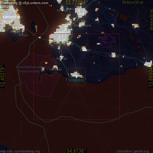
» Earth at Night: Flat Maps 2012, 2016