Thisted night lights from space
Night Light of Thisted (North Denmark) from space (Denmark) Src. Average luminocity for 10x10km area is 4.9034% and for 50x50km: 0.5097%.
Analysis of Thisted night lights 2016
Square area 10x10 km:
 1.14%
1.14%90-99
0.68%80-89
0.91%70-79
0%60-69
1.59%50-59
0.23%40-49
0%30-39
0.45%20-29
0%10-19
0%0-9
95%Square area 50x50 km:
0.07%90-99
0.04%80-89
0.08%70-79
0.01%60-69
0.11%50-59
0.09%40-49
0.07%30-39
0.19%20-29
0.08%10-19
0%0-9
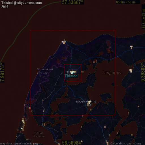
99.24%Clear (daylight) street map image can be seen on geolist.org.
Map coordinates:
57° 20' 12" North, 7° 59' 30.4" East
56° 57' 18.8" North, 8° 41' 41.7" East
56° 34' 11.4" North, 9° 23' 52.9" East
Some cities around Thisted sort by population:
• Viborg
70.6 km =43.9 mi,  142°
142°
• Holstebro
66.3 km =41.2 mi,  184°
184°
• Skive
47.7 km =29.6 mi,  154°
154°
• Struer
51.9 km =32.2 mi,  186°
186°
• Nykøbing Mors
20.4 km =12.7 mi, 151°
• Aars
52.6 km =32.7 mi,  108°
108°
• Lemvig
50.9 km =31.6 mi,  207°
207°
• Støvring
69.8 km =43.4 mi,  96°
96°
2611755 (p: 13,020)
Sources (retrieved 2019-11-25):
» Earth at Night: Flat Maps 2012, 2016