Assens night lights from space
Night Light of Assens (South Denmark) from space (Denmark) Src. Average luminocity for 10x10km area is 2.8242% and for 50x50km: 0.8934%.
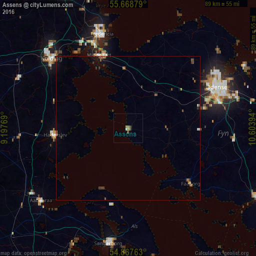
Analysis of Assens night lights 2016
Square area 10x10 km:
 0.24%
0.24%90-99
0.24%80-89
0%70-79
0%60-69
1.91%50-59
0.96%40-49
0%30-39
0%20-29
0.72%10-19
0.24%0-9
95.69%Square area 50x50 km:
0.04%90-99
0.03%80-89
0.02%70-79
0.06%60-69
0.18%50-59
0.29%40-49
0.18%30-39
0.34%20-29
0.05%10-19
0.37%0-9
98.45%Clear (daylight) street map image can be seen on geolist.org.
Map coordinates:
55° 40' 7.6" North, 9° 11' 51.7" East
55° 16' 12.8" North, 9° 54' 2.9" East
54° 52' 3.5" North, 10° 36' 14.2" East
Some cities around Assens sort by population:
• Odense
33.9 km =21.1 mi,  65°
65°
• Kolding
36.5 km =22.7 mi,  312°
312°
• Fredericia
34.2 km =21.3 mi,  344°
344°
• Haderslev
26.3 km =16.3 mi,  264°
264°
• Middelfart
28.3 km =17.6 mi, 337°
• Nordborg
25.8 km =16 mi,  203°
203°
• Faaborg
29.1 km =18.1 mi,  131°
131°
• Neder Holluf
36.2 km =22.5 mi, 73°
2624502 (p: 6,053)
Sources (retrieved 2019-11-25):
» Earth at Night: Flat Maps 2012, 2016