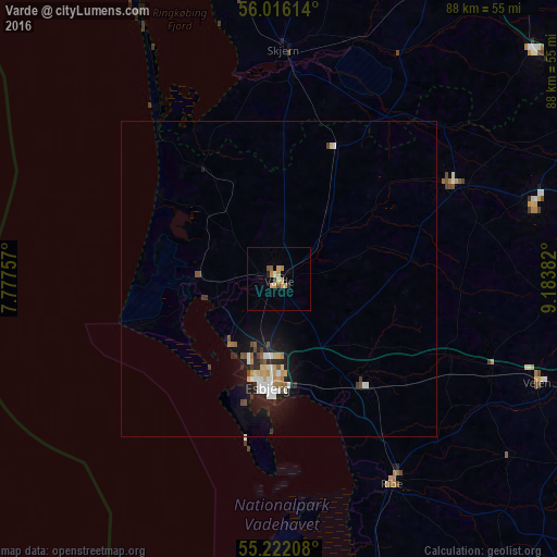
Varde night lights from space
Night Light of Varde (South Denmark) from space (Denmark) Src. Average luminocity for 10x10km area is 6.9386% and for 50x50km: 2.1848%.
Analysis of Varde night lights 2016
Square area 10x10 km:
 0%
0%90-99
0.38%80-89
1.25%70-79
3.01%60-69
0.88%50-59
0.88%40-49
0.88%30-39
0.38%20-29
0.5%10-19
0.38%0-9
91.48%Square area 50x50 km:
0.31%90-99
0.39%80-89
0.27%70-79
0.25%60-69
0.2%50-59
0.23%40-49
0.29%30-39
0.22%20-29
0.54%10-19
1.75%0-9
95.56%Clear (daylight) street map image can be seen on geolist.org.
Map coordinates:
56° 0' 58.1" North, 7° 46' 39.3" East
55° 37' 16" North, 8° 28' 50.5" East
55° 13' 19.5" North, 9° 11' 1.8" East
Some cities around Varde sort by population:
• Esbjerg
16.9 km =10.5 mi,  186°
186°
• Grindsted
31.8 km =19.8 mi,  61°
61°
• Vejen
44.2 km =27.5 mi,  110°
110°
• Ribe
37.1 km =23.1 mi,  150°
150°
• Skjern
36.6 km =22.7 mi,  1°
1°
• Bramming
21.8 km =13.5 mi,  140°
140°
• Brande
54 km =33.6 mi,  48°
48°
• Billund
41.3 km =25.7 mi,  72°
72°
2610726 (p: 12,735)
Sources (retrieved 2019-11-25):
» Earth at Night: Flat Maps 2012, 2016