Grindsted night lights from space
Night Light of Grindsted (South Denmark) from space (Denmark) Src. Average luminocity for 10x10km area is 3.8995% and for 50x50km: 0.6841%.
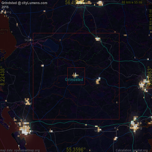
Analysis of Grindsted night lights 2016
Square area 10x10 km:
 0%
0%90-99
0.48%80-89
0.48%70-79
0.48%60-69
0.48%50-59
1.2%40-49
2.03%30-39
0.6%20-29
0%10-19
0%0-9
94.26%Square area 50x50 km:
0.07%90-99
0.14%80-89
0.06%70-79
0.11%60-69
0.1%50-59
0.05%40-49
0.2%30-39
0.08%20-29
0.04%10-19
0.02%0-9
99.13%Clear (daylight) street map image can be seen on geolist.org.
Map coordinates:
56° 9' 3.3" North, 8° 13' 27.8" East
55° 45' 26.1" North, 8° 55' 39" East
55° 21' 34.6" North, 9° 37' 50.3" East
Some cities around Grindsted sort by population:
• Vejle
38.4 km =23.9 mi,  97°
97°
• Herning
42.2 km =26.2 mi,  4°
4°
• Varde
31.8 km =19.8 mi,  241°
241°
• Vejen
33.4 km =20.8 mi,  156°
156°
• Skjern
34.2 km =21.3 mi,  308°
308°
• Bramming
35 km =21.7 mi,  204°
204°
• Brande
24.2 km =15 mi,  31°
31°
• Billund
11.6 km =7.2 mi, 103°
2621193 (p: 9,414)
Sources (retrieved 2019-11-25):
» Earth at Night: Flat Maps 2012, 2016