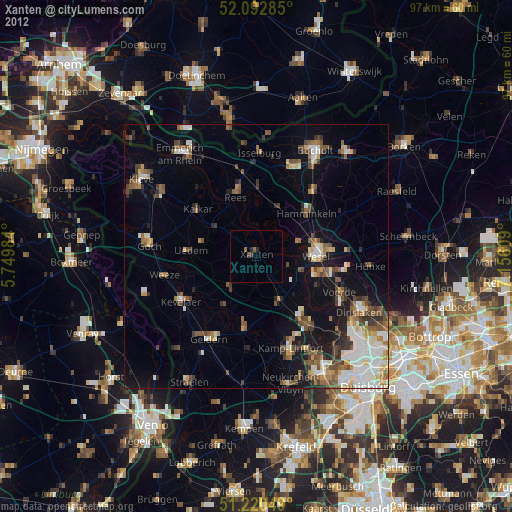
Xanten night lights from space
Night Light of Xanten (North Rhine-Westphalia) from space (Germany) Src. Average luminocity for 10x10km area is 1.3515% and for 50x50km: 13.0021%.
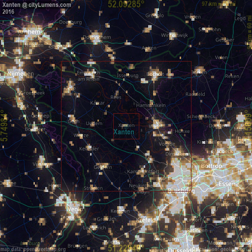
Analysis of Xanten night lights 2016
Square area 10x10 km:
 0%
0%90-99
0%80-89
0%70-79
0%60-69
0%50-59
1.68%40-49
0%30-39
0%20-29
1.12%10-19
0.28%0-9
96.92%Square area 50x50 km:
2.23%90-99
2.26%80-89
1.31%70-79
1.25%60-69
1.45%50-59
2.02%40-49
2.08%30-39
1.51%20-29
1.81%10-19
8.4%0-9
75.68%Clear (daylight) street map image can be seen on geolist.org.
Map coordinates:
52° 5' 34.3" North, 5° 44' 59.4" East
51° 39' 31.6" North, 6° 27' 10.7" East
51° 13' 13.8" North, 7° 9' 21.9" East
Some cities around Xanten sort by population:
• Wesel
11.6 km =7.2 mi,  85°
85°
• Hamminkeln
12.5 km =7.8 mi,  49°
49°
• Rees
12.2 km =7.6 mi,  341°
341°
• Alpen
9.5 km =5.9 mi,  152°
152°
• Issum
14 km =8.7 mi,  185°
185°
• Uedem
12.4 km =7.7 mi,  273°
273°
• Sonsbeck
7.7 km =4.8 mi,  221°
221°
• Mehrhoog
9.7 km =6 mi,  24°
24°
2805385 (p: 21,587)
Sources (retrieved 2019-11-25):
» Earth at Night: Flat Maps 2012, 2016