Wesel night lights from space
Night Light of Wesel (North Rhine-Westphalia) from space (Germany) Src. Average luminocity for 10x10km area is 23.9118% and for 50x50km: 17.208%.
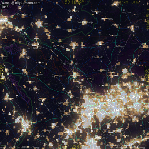
Analysis of Wesel night lights 2016
Square area 10x10 km:
 2.8%
2.8%90-99
2.24%80-89
4.34%70-79
4.06%60-69
2.52%50-59
2.52%40-49
2.66%30-39
3.5%20-29
3.92%10-19
28.43%0-9
43%Square area 50x50 km:
3.38%90-99
3.65%80-89
2.09%70-79
1.95%60-69
2.09%50-59
2.41%40-49
2%30-39
1.79%20-29
2.24%10-19
8.29%0-9
70.1%Clear (daylight) street map image can be seen on geolist.org.
Map coordinates:
52° 6' 3.2" North, 5° 55' 2.1" East
51° 40' 0.8" North, 6° 37' 13.3" East
51° 13' 43.3" North, 7° 19' 24.6" East
Some cities around Wesel sort by population:
• Dinslaken
14.4 km =8.9 mi,  143°
143°
• Voerde
9 km =5.6 mi,  149°
149°
• Rheinberg
13.5 km =8.4 mi,  187°
187°
• Hamminkeln
7.6 km =4.7 mi,  344°
344°
• Xanten
11.6 km =7.2 mi,  265°
265°
• Hünxe
6.4 km =4 mi,  124°
124°
• Alpen
11.7 km =7.3 mi,  217°
217°
• Mehrhoog
10.9 km =6.8 mi,  316°
316°
2810678 (p: 61,685)
Sources (retrieved 2019-11-25):
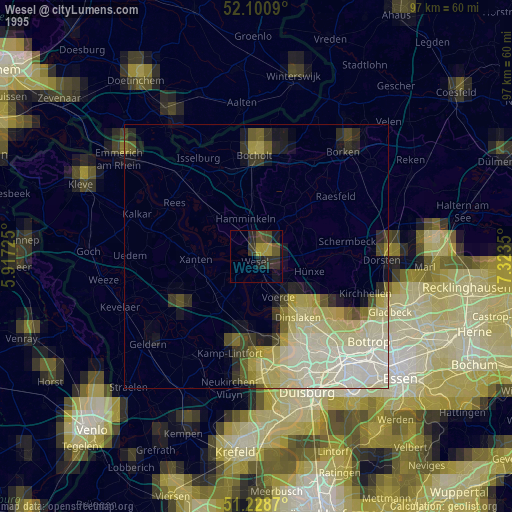
» NASA, Earths city lights 1995
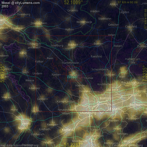
» NASA city lights 2003
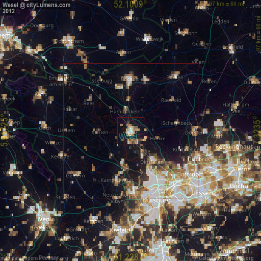
» Earth at Night: Flat Maps 2012, 2016