Wuppertal night lights from space
Night Light of Wuppertal (North Rhine-Westphalia) from space (Germany) Src. Average luminocity for 10x10km area is 50.8263% and for 50x50km: 36.1117%.
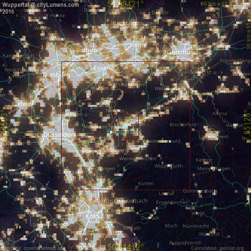
Analysis of Wuppertal night lights 2016
Square area 10x10 km:
 6.58%
6.58%90-99
8.82%80-89
6.3%70-79
7.84%60-69
5.74%50-59
6.44%40-49
10.78%30-39
11.2%20-29
31.37%10-19
4.9%0-9
0%Square area 50x50 km:
6.03%90-99
7.12%80-89
3.73%70-79
4.16%60-69
4.43%50-59
5.29%40-49
5.47%30-39
7.73%20-29
12.97%10-19
16.74%0-9
26.33%Clear (daylight) street map image can be seen on geolist.org.
Map coordinates:
51° 41' 39.2" North, 6° 26' 42.1" East
51° 15' 22.6" North, 7° 8' 53.4" East
50° 48' 50.8" North, 7° 51' 4.6" East
Some cities around Wuppertal sort by population:
• Solingen
10.2 km =6.3 mi,  205°
205°
• Remscheid
9 km =5.6 mi,  160°
160°
• Velbert
11.4 km =7.1 mi,  320°
320°
• Mettmann
12 km =7.5 mi,  266°
266°
• Schwelm
10.7 km =6.6 mi,  71°
71°
• Haan
11.7 km =7.3 mi,  233°
233°
• Sprockhövel
12 km =7.5 mi,  33°
33°
• Wülfrath
8.2 km =5.1 mi,  290°
290°
2805753 (p: 360,797)
Sources (retrieved 2019-11-25):
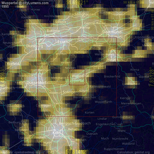
» NASA, Earths city lights 1995
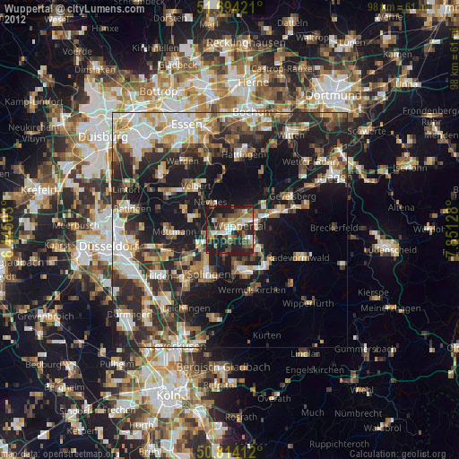
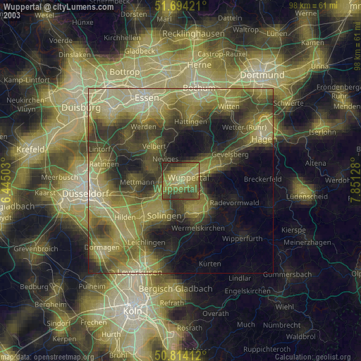
» NASA city lights 2003
» Earth at Night: Flat Maps 2012, 2016