Wülfrath night lights from space
Night Light of Wülfrath (North Rhine-Westphalia) from space (Germany) Src. Average luminocity for 10x10km area is 33.4272% and for 50x50km: 46.0577%.
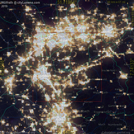
Analysis of Wülfrath night lights 2016
Square area 10x10 km:
 3.5%
3.5%90-99
4.48%80-89
1.26%70-79
4.06%60-69
4.76%50-59
5.18%40-49
4.2%30-39
3.22%20-29
22.83%10-19
46.5%0-9
0%Square area 50x50 km:
10.22%90-99
10.73%80-89
4.78%70-79
5.03%60-69
5.31%50-59
5.56%40-49
5.64%30-39
8.7%20-29
11.64%10-19
16.16%0-9
16.22%Clear (daylight) street map image can be seen on geolist.org.
Map coordinates:
51° 43' 10.7" North, 6° 20' 6.3" East
51° 16' 55" North, 7° 2' 17.6" East
50° 50' 24.2" North, 7° 44' 28.8" East
Some cities around Wülfrath sort by population:
• Wuppertal
8.2 km =5.1 mi,  110°
110°
• Solingen
12.5 km =7.8 mi,  165°
165°
• Ratingen
13.2 km =8.2 mi,  277°
277°
• Velbert
6 km =3.7 mi,  3°
3°
• Erkrath
11.2 km =7 mi,  233°
233°
• Mettmann
5.6 km =3.5 mi, 231°
• Haan
10 km =6.2 mi,  190°
190°
• Heiligenhaus
6.8 km =4.2 mi,  316°
316°
2805910 (p: 22,355)
Sources (retrieved 2019-11-25):
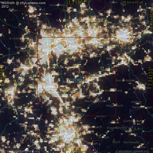
» Earth at Night: Flat Maps 2012, 2016