Kerkrade night lights from space
Night Light of Kerkrade (Limburg) from space (Netherlands) Src. Average luminocity for 10x10km area is 59.3613% and for 50x50km: 23.0688%.
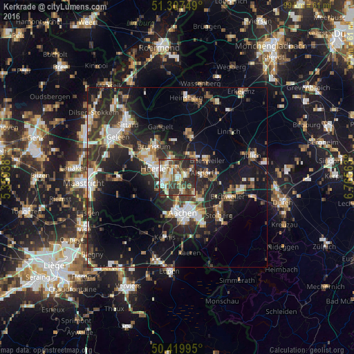
Analysis of Kerkrade night lights 2016
Square area 10x10 km:
 6.72%
6.72%90-99
16.67%80-89
8.26%70-79
7%60-69
6.16%50-59
12.18%40-49
8.68%30-39
16.81%20-29
16.81%10-19
0.7%0-9
0%Square area 50x50 km:
3.11%90-99
4.25%80-89
1.97%70-79
2.27%60-69
2.77%50-59
3.23%40-49
3.33%30-39
4.6%20-29
8.98%10-19
17.58%0-9
47.91%Clear (daylight) street map image can be seen on geolist.org.
Map coordinates:
51° 18' 27" North, 5° 21' 33.8" East
50° 51' 57" North, 6° 3' 45" East
50° 25' 11.8" North, 6° 45' 56.3" East
Some cities around Kerkrade sort by population:
• Aachen, DE
10 km =6.2 mi,  171°
171°
• Heerlen
6 km =3.7 mi,  289°
289°
• Herzogenrath, DE
2.2 km =1.4 mi,  81°
81°
• Alsdorf, DE
7.2 km =4.5 mi, 80°
• Würselen, DE
7.3 km =4.5 mi,  136°
136°
• Baesweiler, DE
10.1 km =6.3 mi,  61°
61°
• Übach-Palenberg, DE
7.2 km =4.5 mi,  36°
36°
• Vaals
11 km =6.8 mi,  196°
196°
2752923 (p: 49,777)
Sources (retrieved 2019-11-25):
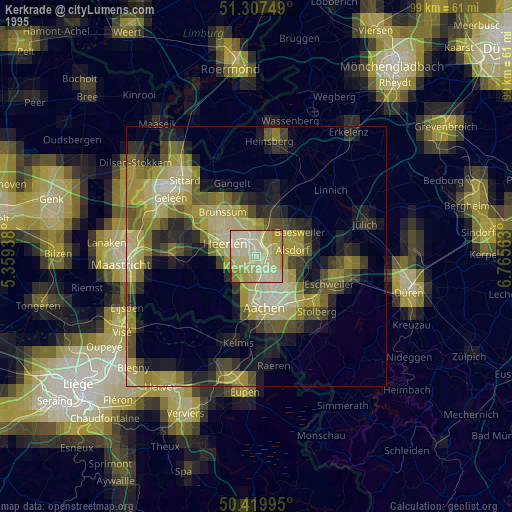
» NASA, Earths city lights 1995
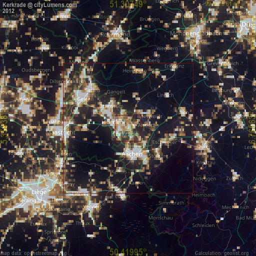
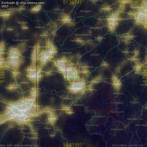
» NASA city lights 2003
» Earth at Night: Flat Maps 2012, 2016